Show the map
Le Viaduc


8.64 km
268 m
268 m
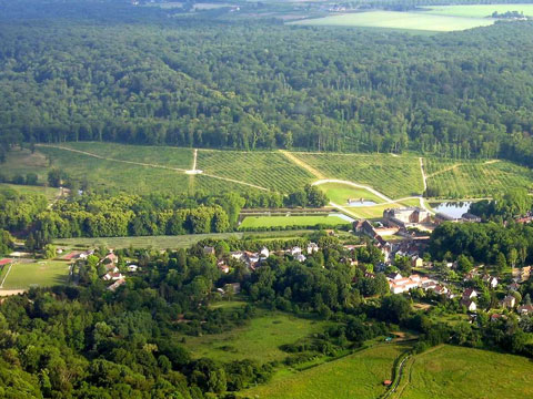
 Bures-sur-Yvette (91)
 Points of Interest table
| Accum. | Intermediary | |||||||
|---|---|---|---|---|---|---|---|---|
| POI | Description | Alt. | Dist. | D+ | D- | Dist. | D+ | D- |
Trace n°6716
Ascent threshold : 0 m Distance threshold : 30 m Smoothing : Yes Origin of altitudes : MNT IGN
Ascent threshold : 0 m Distance threshold : 30 m Smoothing : Yes Origin of altitudes : MNT IGN
Loop
Dominant terrain : Footpath
Max alti. : 157 m
Avg alti. : 118 m
Min alti. : 62 m
Longest ascent : 110 m
Longest descent : 90 m
Route completed by the author : Yes
Dominant terrain : Footpath
Max alti. : 157 m
Avg alti. : 118 m
Min alti. : 62 m
Longest ascent : 110 m
Longest descent : 90 m
Route completed by the author : Yes
Elevation profile
More tools
Create a new roadbook page
Map and track on your website
Warning ! When you insert a Trace de Trail map on your website, you agree not to hide any element of the module (links to Trail Trail or Trail Connect banner)
Add a realisation
Validate
Add a realisation to share your chrono and describe the conditions that you encountered during you trail running !
Add a comment
Validate
pierromobil
15/09/15, 17:16:59
Panneaux arrachés sur la première partie boisée du parcours !!!! C'est dommage .... Mais cela nous a fait travailler notre sens de l'orientation ..... Serait il possible de matérialiser sur les cartes ign, les différents parcours, par des couleurs appropriées ?
15/09/15, 17:16:59
Panneaux arrachés sur la première partie boisée du parcours !!!! C'est dommage .... Mais cela nous a fait travailler notre sens de l'orientation ..... Serait il possible de matérialiser sur les cartes ign, les différents parcours, par des couleurs appropriées ?
Show the infos
Add a track


