Show the map
Le Serre - Baisse de Clari - Giarons
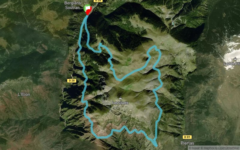


20 km
960 m
960 m
 Beuil (06)
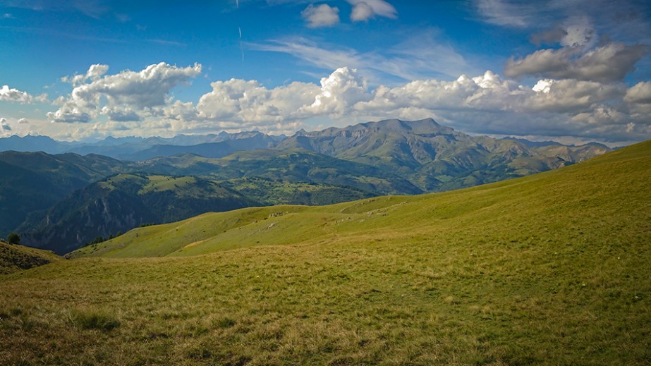
Points of Interest table
| Accum. | Intermediary | |||||||
|---|---|---|---|---|---|---|---|---|
| POI | Description | Alt. | Dist. | D+ | D- | Dist. | D+ | D- |
Trace n°62454
Ascent threshold : 3 m Distance threshold : 30 m Smoothing : Yes Origin of altitudes : MNT IGN
Ascent threshold : 3 m Distance threshold : 30 m Smoothing : Yes Origin of altitudes : MNT IGN
Loop
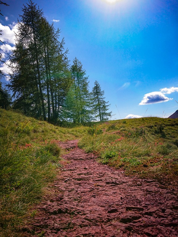
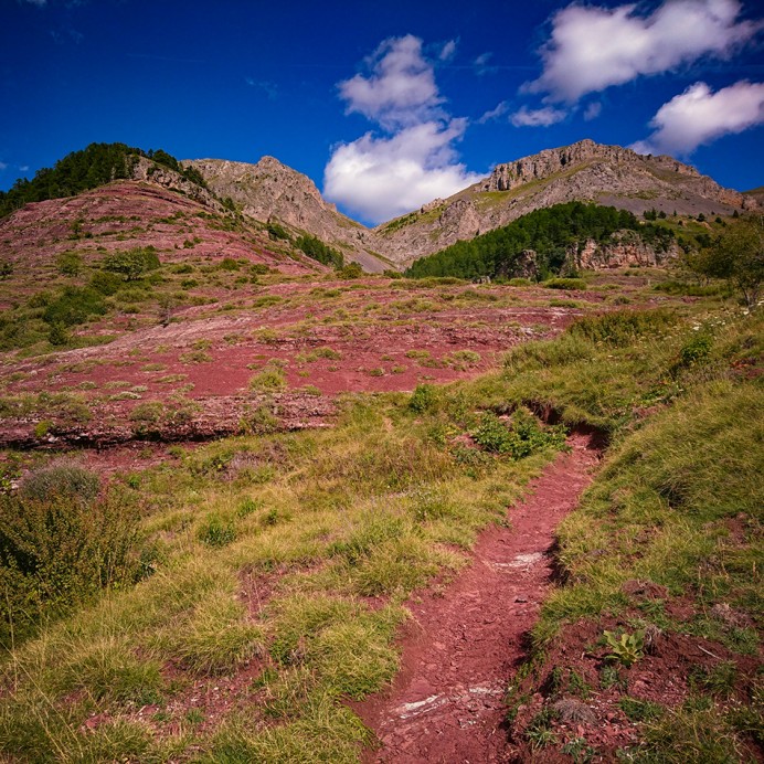
Dominant terrain : Footpath
Max alti. : 1964 m
Avg alti. : 1622 m
Min alti. : 1244 m
Longest ascent : 530 m
Longest descent : 680 m
Route completed by the author : Yes
Dominant terrain : Footpath
Max alti. : 1964 m
Avg alti. : 1622 m
Min alti. : 1244 m
Longest ascent : 530 m
Longest descent : 680 m
Route completed by the author : Yes
Elevation profile
More tools
Create a new roadbook page
Map and track on your website
Warning ! When you insert a Trace de Trail map on your website, you agree not to hide any element of the module (links to Trail Trail or Trail Connect banner)
Add a realisation
Validate
Add a realisation to share your chrono and describe the conditions that you encountered during you trail running !
Add a comment
Validate
Show the infos
Add a track


