
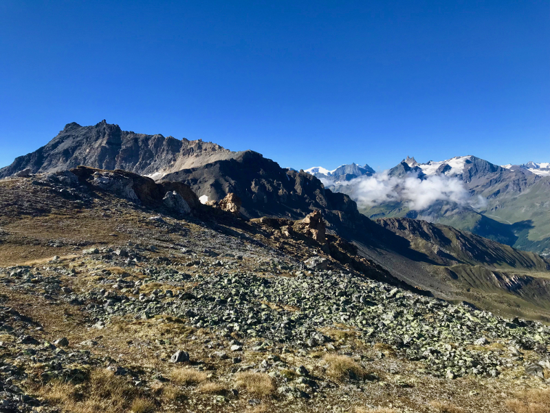
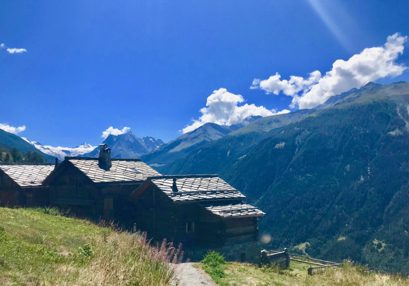
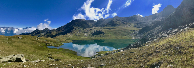
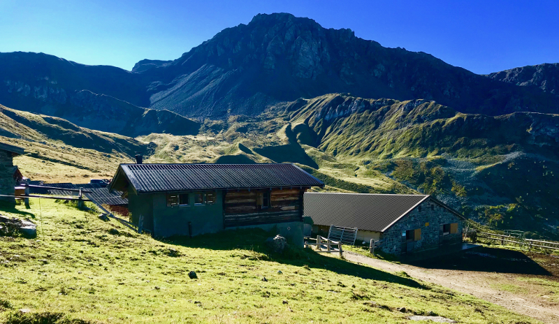
Cette boucle de 31km offrira aux plus courageux des vues et des paysages à couper le souffle. Avec ses 2170m de dénivelé positif et des passages proches des 3000m d’altitude, vous pourrez admirer toute la vallée, les nombreux sommets et glaciers qui s’offrent à vous. Le début du parcours permet un bon échauffement avant d’attaquer la montée menant au col du bec des Bossons. De là, vous basculerez dans les plateaux d’altitude. Vous y trouverez notamment le lac « Le Louché ». La descente continue jusqu’à « Le Pichioc » avant de gravir le dernier col de la journée. La descente s ‘effectue par une sentier très agréable en balcon avant de retrouver votre point de départ.

- Distance 30.9 km
- Elevation gain 2170 m
- Elevation lost 2170 m
- Min. elevation 1388 m
- Max. elevation. 2986 m
- Duration (depending on pace) 4h20 à 8h30
- Marking trail-running


the digital trails


![]()
Info & contacts
Saint Martin Tourisme
Rue de l’Église 7
1969 SAINT MARTIN (SUISSE)
+41 (0) 27 281 24 74
trail@valdherens.ch

