
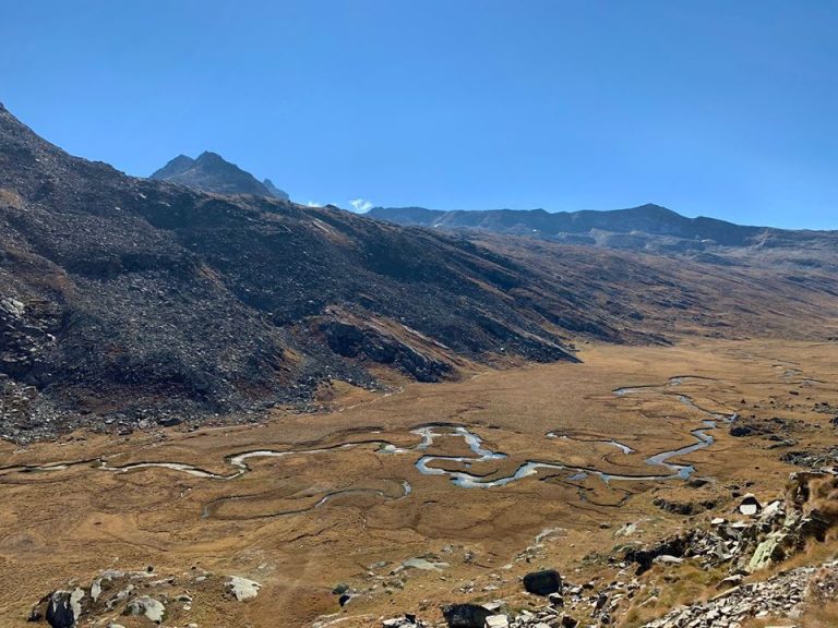
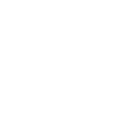
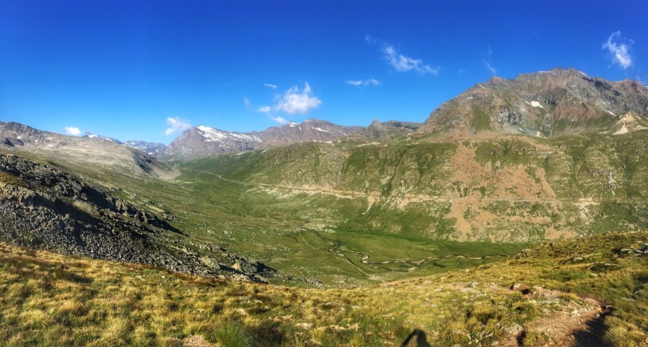
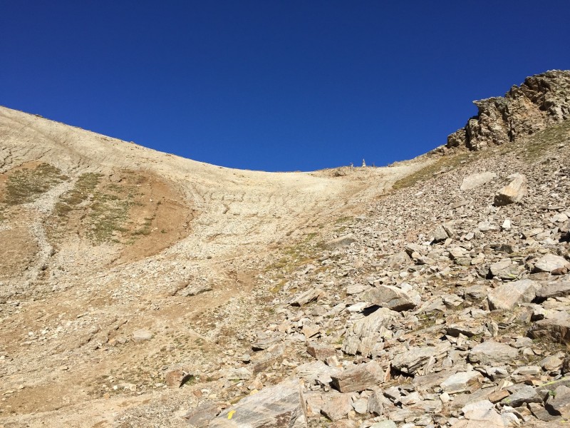
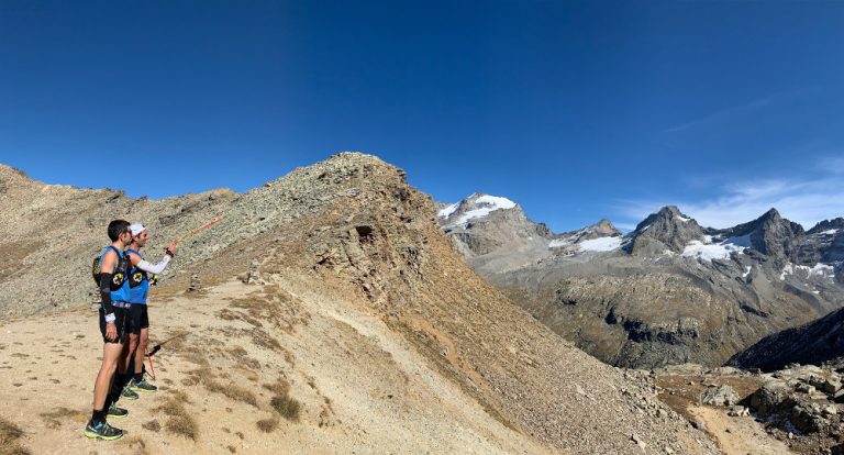
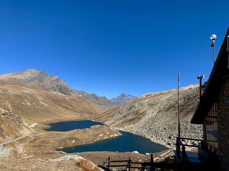
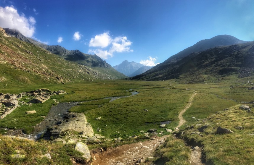
Starting from the village of Pont, this itinerary will take you to the Croix d'Arolley (2313m), a real belvedere on the Grand Paradis chain and on the Grivola. You will then cross the Nivolet torrent to go up the left side of the river and follow the Nivolet plateau from above along a stony track for 5km. During this crossing, you will enjoy an exceptional view of this long natural plateau of moorlands and wetlands, a real postcard setting. You will then reach the Nivolet lake, a crystalline mountain lake, and the "royal hunting house" which has now become the Savoie mountain refuge. From there, a short round trip will take you to the Chivasso refuge and the Nivolet pass (2600m). You will then retrace your steps before descending to the Nivolet plateau and crossing it to the Grand Collet mayens, old abandoned mayens of the Nivolet mountain pasture, which still bears witness to the alpine life of the past. You will then climb up to the Col du Grand Collet (2832m), a real lookout point on the Grand Paradis. You will then have 4km of descent to return to the village of Pont, via the Grand Etret valley. Be careful on the descent, some passages are technical.
- Distance 20.7 km
- Elevation gain 1210 m
- Elevation lost 1210 m
- Min. elevation 1963 m
- Max. elevation. 2834 m
- Duration (depending on pace) 2h40 à 5h30
- Marking Trail-running signs n°F


Coming to Valsavarenche
![]()
Info & contacts
Comune di Valsavarenche
Loc. Dégioz, 166
11010 Valsavarenche (AO)
Tel. (+39) 0165 905703

