Route D - Grand Collet pass
Add to my favorites

Route opened
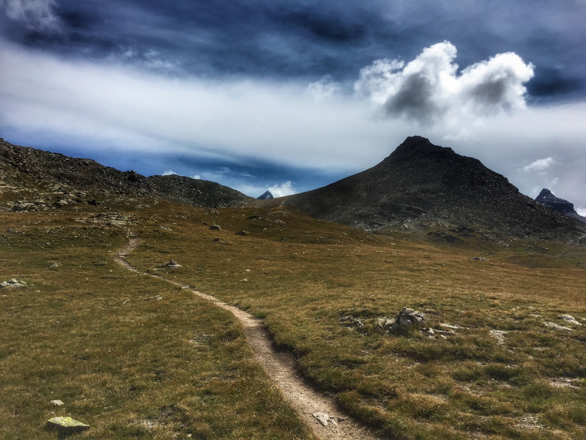
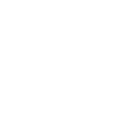
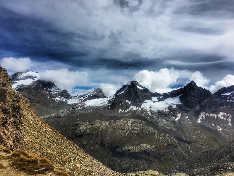
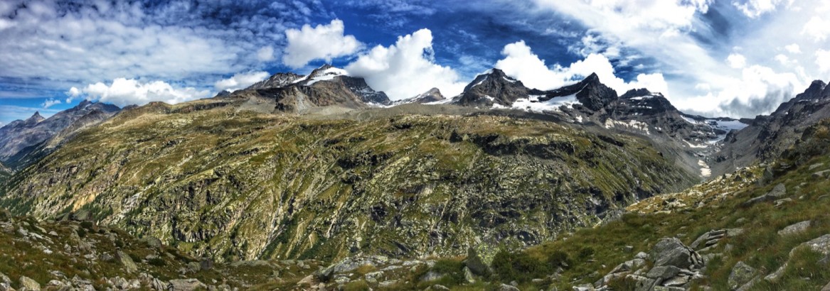
Starting from the village of Pont, you will first climb to the Croix d'Arroley (2,313m), a magnificent viewpoint over the Grand Paradis chain and the Grivola. You will then reach the Nivolet plateau where a torrent meanders. At the level of abandoned stone mountain pastures, you will leave the plateau to climb to the Col du Grand Collet, a real lookout point on the Grand Paradis. You will then descend to the village of Pont via a fairly technical path in the Grand Etret valley.
The characteristics of the route.
Valsavarenche (IT)
- Distance 10.5 km
- Elevation gain 900 m
- Elevation lost 900 m
- Min. elevation 1963 m
- Max. elevation. 2833 m
- Duration (depending on pace) 1h40 à 3h20
- Marking Trail-running signs n°D
Add your time and share your feelings


Coming to Valsavarenche
![]()
Info & contacts
Comune di Valsavarenche
Loc. Dégioz, 166
11010 Valsavarenche (AO)
Tel. (+39) 0165 905703


OK
Annuler