Route C - Meyes
Add to my favorites

Route opened
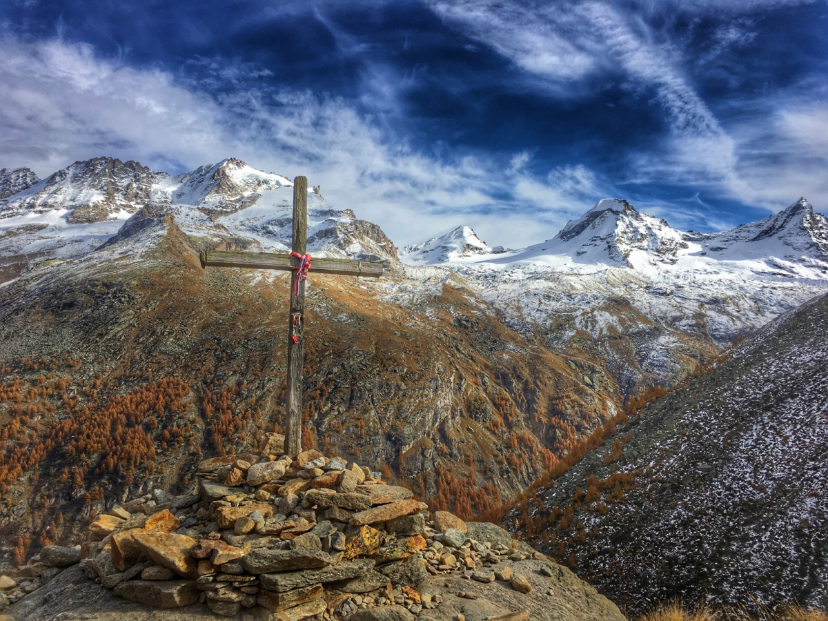
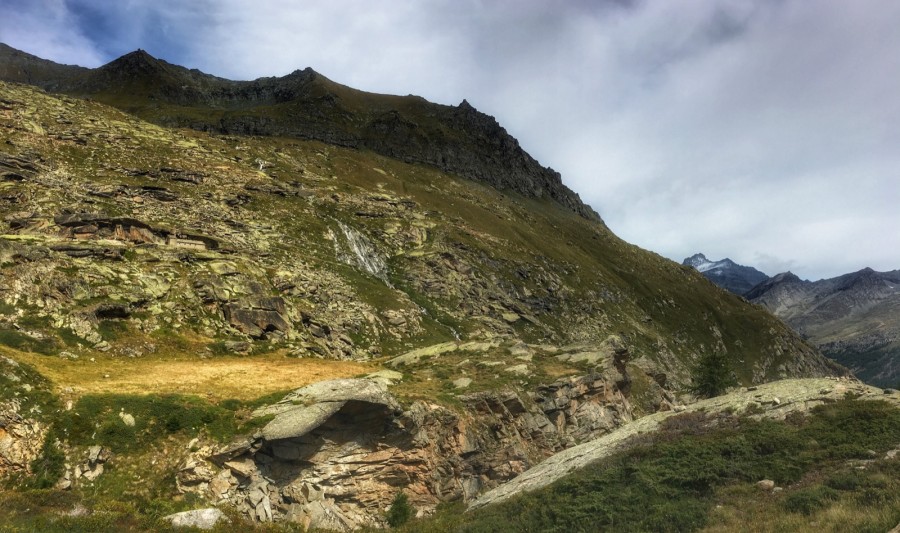
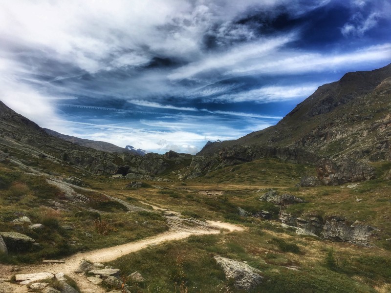
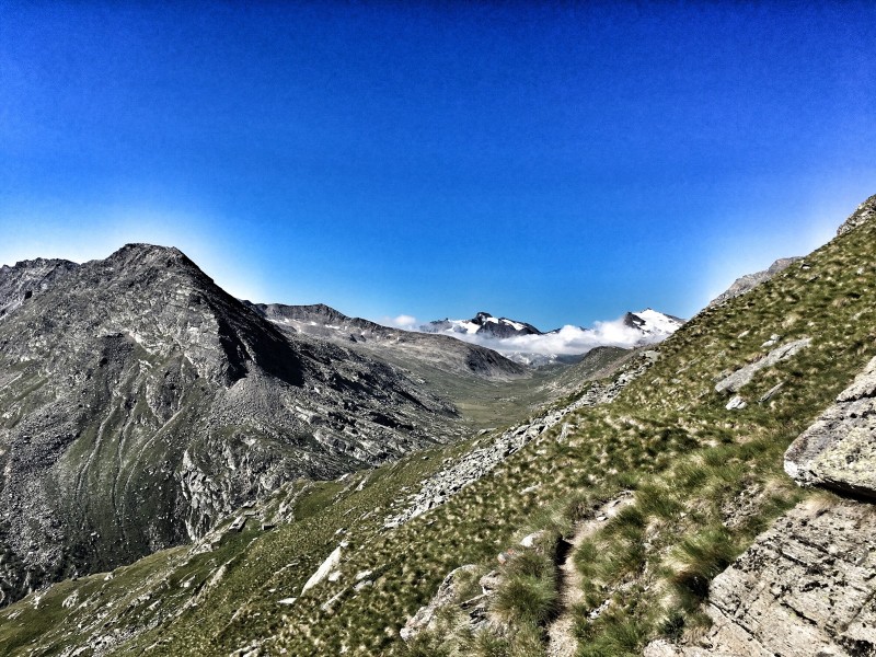
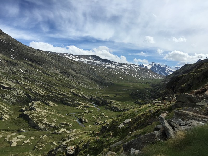
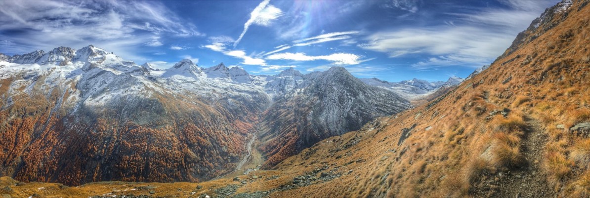
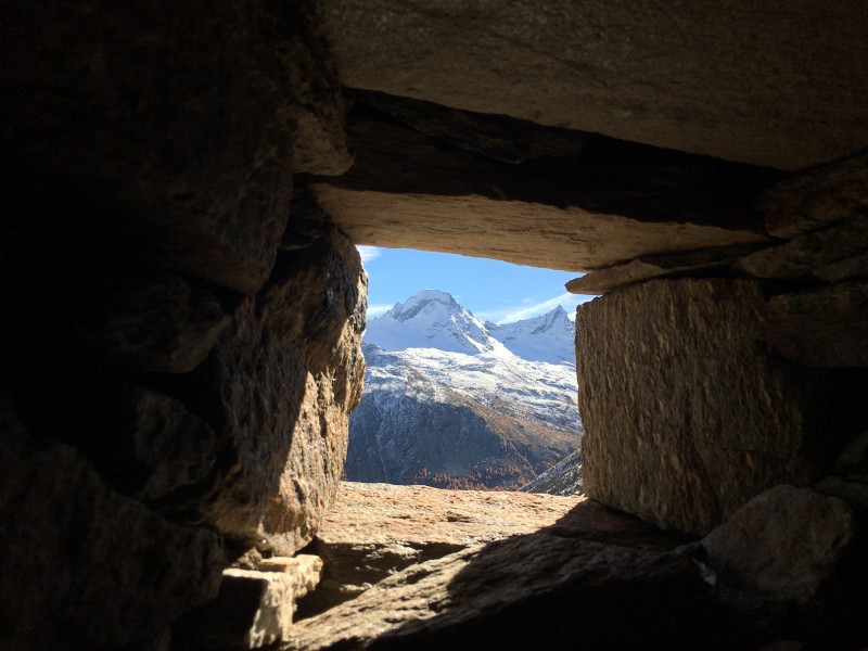
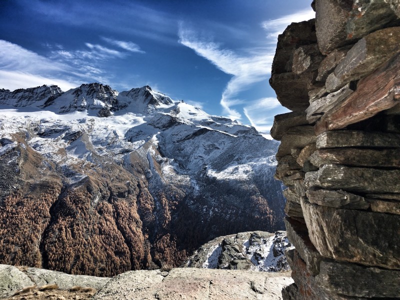
Starting from the village of Pont, this unusual route will take you to the abandoned alpine pasture of Plan Borgno, before reaching the Meyes valley, a real viewpoint over the valley facing the Grand Paradis massif. The descent will be on a wide dirt road, with the passage in a tunnel. This road, which was never completed, should have linked the village of Pont with the Nivolet valley to reach a hydroelectric dam which - fortunately - was never built.
The characteristics of the route.

Valsavarenche (IT)
- Distance 12.8 km
- Elevation gain 890 m
- Elevation lost 890 m
- Min. elevation 1953 m
- Max. elevation. 2635 m
- Duration (depending on pace) 1h45 à 3h45
- Marking Trail-running signs n°C
Add your time and share your feelings


Coming to Valsavarenche
![]()
Info & contacts
Comune di Valsavarenche
Loc. Dégioz, 166
11010 Valsavarenche (AO)
Tel. (+39) 0165 905703


OK
Annuler