Show the map
Evaluated Track - ITRA
?ertovskej Ultratrail 2018 - 66,6 km
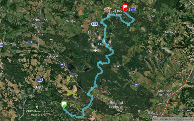


 Houska (CZ)
 Út?chovice (CZ)


Devil's race for 66,6 km - ultratrail over hills and valleys, castles and waters in the mysterious landscape of the Koko?ín region and the Macha region.
Points of Interest table
| Accum. | Intermediary | |||||||
|---|---|---|---|---|---|---|---|---|
| POI | Description | Alt. | Dist. | D+ | D- | Dist. | D+ | D- |
 Competition organized on 06/09/2018
Trace n°51660
Ascent threshold : 3 m Distance threshold : 30 m Smoothing : Yes Origin of altitudes : MNT Google
Ascent threshold : 3 m Distance threshold : 30 m Smoothing : Yes Origin of altitudes : MNT Google
Crossing
Dominant terrain : Path
Max alti. : 648 m
Avg alti. : 357 m
Min alti. : 280 m
Longest ascent : 390 m
Longest descent : 390 m
Dominant terrain : Path
Max alti. : 648 m
Avg alti. : 357 m
Min alti. : 280 m
Longest ascent : 390 m
Longest descent : 390 m
Elevation profile
More tools
Create a new roadbook page
Map and track on your website
Warning ! When you insert a Trace de Trail map on your website, you agree not to hide any element of the module (links to Trail Trail or Trail Connect banner)
Add a realisation
Validate
Add a realisation to share your chrono and describe the conditions that you encountered during you trail running !
Add a comment
Validate
Show the infos
Add a track


