Show the map
Certified Track - ITRA
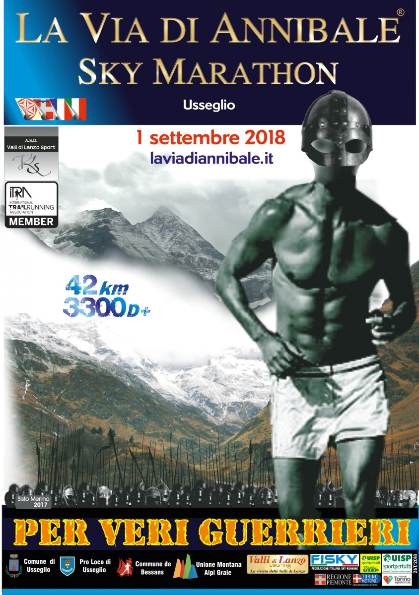
Hannibaltrail 2018 - La Via Di Annibale Sky Marathon


 Usseglio (IT)


This race wants to recollect Hanniba'al’s crossing of the Alps in 218 BC. across the Autaret Pass in the Upper Valley of Viù, in the Lanzo Valleys. And this is a pretext to run in a naturally intact environment where altitude, sun, wind and snow are lords and masters.
A high mountain race that starts and finishes in Usseglio (To) going through two passes of more than 3000 m and across the snowfields of the former Briere glacier. The race takes place in the first weekend of September.
The route "The way of Hannibal®" Sky Marathon (ASM) is classified with the red dot: EEA route for experienced hikers. It mainly runs on forest roads, mule tracks and trails at high altitude. It is an itinerary that requires the ability to move on particular terrains, tracks and inaccessible or treacherous paths (slopes with rocky outcrops or loose stone), sometimes challenging and exposed. It includes two passes of over 3000 m, the crossing of snowfields and the remains of the Berta glacier. Snowfalls are possible during the race which, even though relatively short, has a high technical and scenic appeal. The route moves along the following itinerary : Usseglio 1260, Margone 1410, Rifugio Cibrario 2616, Colle Sulè 3073, Colle Autaret 3071, Punta Costan 3305 in French territory, Rifugio Tazzetti 2642, Lago di Malciussia / refuge Vulpot 1805, Usseglio 1260.
The description and documentation of the Carthaginian leader's journey is described in the historical novel "La Druida di Margun" by Sisto Merlino www.druida.info
Points of Interest table
| Accum. | Intermediary | |||||||
|---|---|---|---|---|---|---|---|---|
| POI | Description | Alt. | Dist. | D+ | D- | Dist. | D+ | D- |
 Competition organized on 09/01/2018
Trace n°50389
Ascent threshold : 3 m Distance threshold : 0 m Smoothing : No Origin of altitudes : GPS
Ascent threshold : 3 m Distance threshold : 0 m Smoothing : No Origin of altitudes : GPS
Loop
Dominant terrain : Footpath
Max alti. : 3286 m
Avg alti. : 2271 m
Min alti. : 1260 m
Longest ascent : 1740 m
Longest descent : 1450 m
Dominant terrain : Footpath
Max alti. : 3286 m
Avg alti. : 2271 m
Min alti. : 1260 m
Longest ascent : 1740 m
Longest descent : 1450 m
Elevation profile
More tools
Create a new roadbook page
Map and track on your website
Warning ! When you insert a Trace de Trail map on your website, you agree not to hide any element of the module (links to Trail Trail or Trail Connect banner)
Add a realisation
Validate
Add a realisation to share your chrono and describe the conditions that you encountered during you trail running !
Add a comment
Validate
Show the infos
Add a track


