Route 32 green - La Coquille
Add to my favorites

Route opened
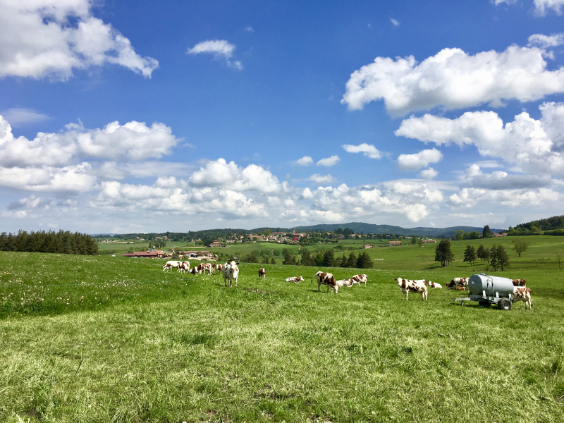
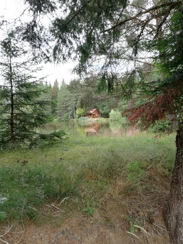
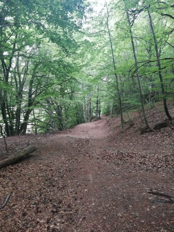
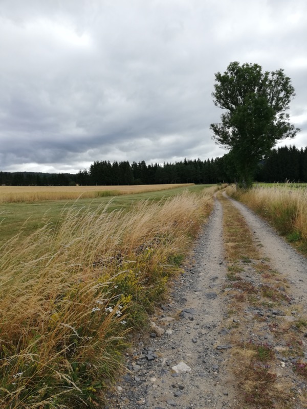
Cet itinéraire vous conduira à la découverte des paysages de la campagne ussonaise, sur un itinéraire roulant, au relief peu marqué. Vous découvrirez les hameaux de Hermet, Trémolet et Grangeneuve et profiterez de points de vue sur le village d’Usson. Cet itinéraire est nommé La Coquille, en référence au symbole du chemin de Saint Jacques de Compostelle qui traverse Usson-en-Forez et que vous pourrez apercevoir lors de votre sortie…
The characteristics of the route.

Usson-en-Forez (42)
- Distance 8.3 km
- Elevation gain 140 m
- Elevation lost 140 m
- Min. elevation 892 m
- Max. elevation. 963 m
- Duration (depending on pace) 0h40 à 1h20
Add your time and share your feelings


Follow us on
the digital trails
the digital trails

![]()
Infos & contacts
Ambert sector :
Bureau des activités de Pleine Nature
+33(0)4 73 72 71 40
accueil@ambertlivradoisforez.fr
Chalmazel - Col de la Loge - Usson sector :
Loire Forez Tourisme
+33(0)4 77 96 08 69
www.loireforez.com


OK
Annuler