Show the map
OFFICIAL ROUTE
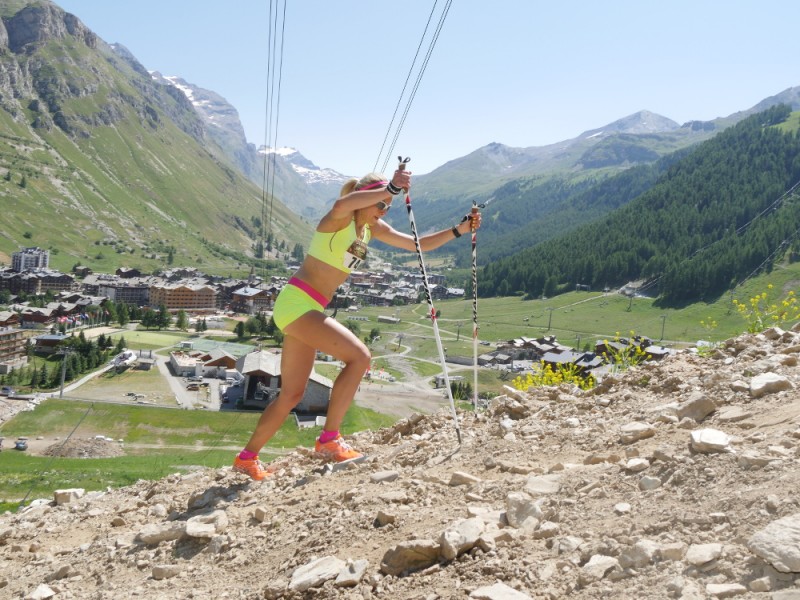
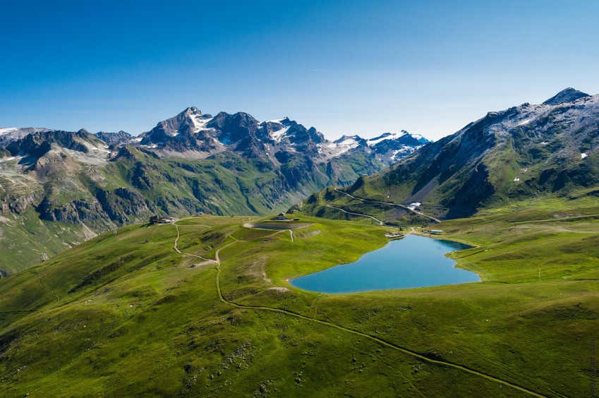
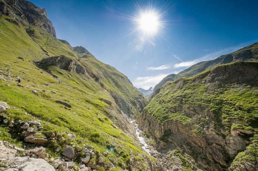
High Trail Vanoise 2018 - High Trail Vanoise


70.2 km
5350 m
5350 m
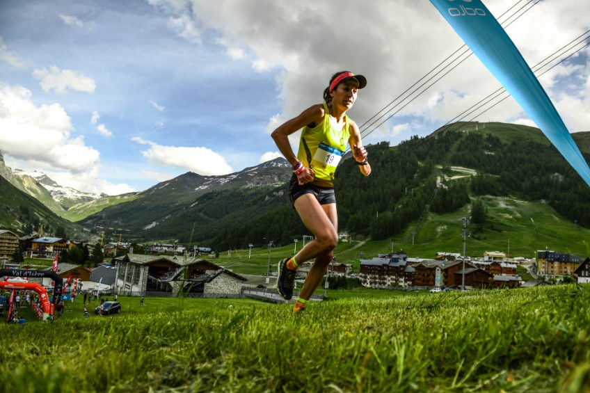
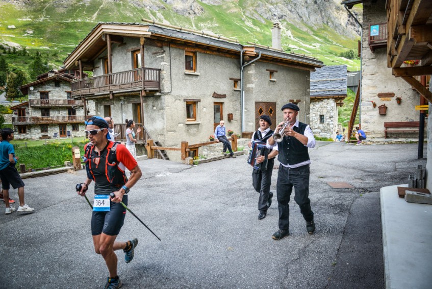
 Val-d’Isère (73)
 11
11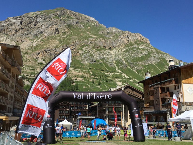
Points of Interest table
| Accum. | Intermediary | |||||||
|---|---|---|---|---|---|---|---|---|
| POI | Description | Alt. | Dist. | D+ | D- | Dist. | D+ | D- |
 Competition organized on 07/07/2018
Trace n°42519
Ascent threshold : 3 m Distance threshold : 30 m Smoothing : Yes Origin of altitudes : MNT Google
Ascent threshold : 3 m Distance threshold : 30 m Smoothing : Yes Origin of altitudes : MNT Google
Loop
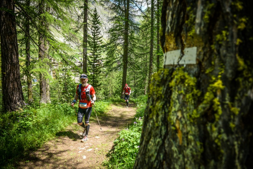
Dominant terrain : Footpath
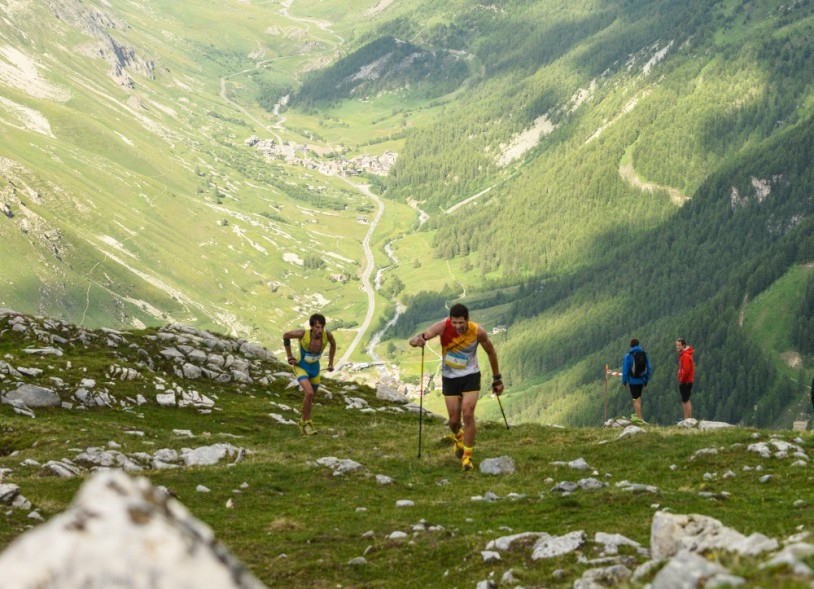
Max alti. : 3602 m
Avg alti. : 2557 m
Min alti. : 1800 m
Longest ascent : 1460 m
Longest descent : 1610 m
Dominant terrain : Footpath
Max alti. : 3602 m
Avg alti. : 2557 m
Min alti. : 1800 m
Longest ascent : 1460 m
Longest descent : 1610 m
More tools
Create a new roadbook page
Map and track on your website
Warning ! When you insert a Trace de Trail map on your website, you agree not to hide any element of the module (links to Trail Trail or Trail Connect banner)
Add a realisation
Validate
Add a realisation to share your chrono and describe the conditions that you encountered during you trail running !
Add a comment
Validate
Show the infos
Add a track


