Route 43 - La Vallée de l'Impradine
Add to my favorites

Route closed
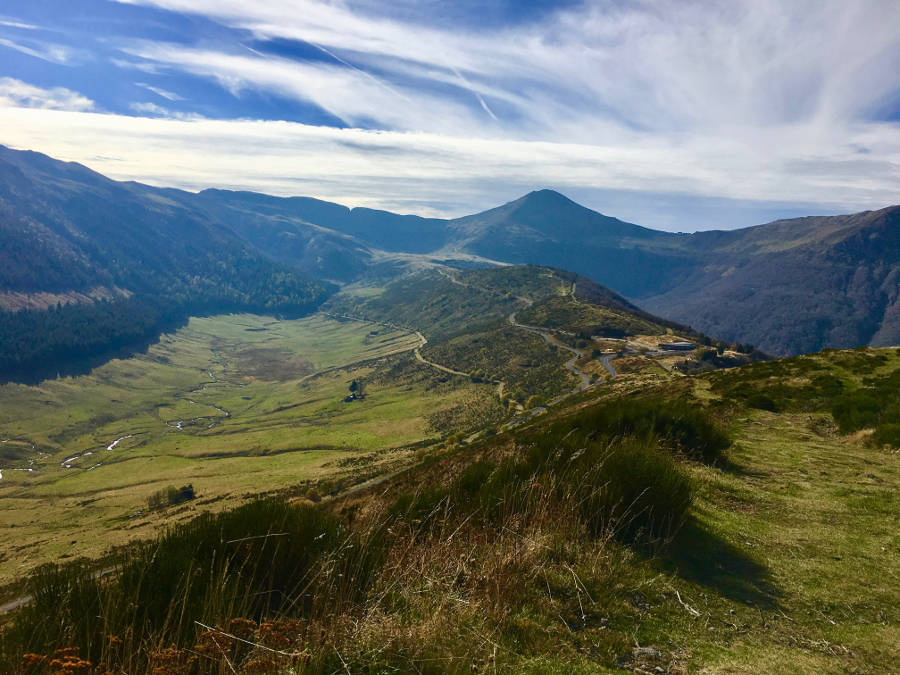
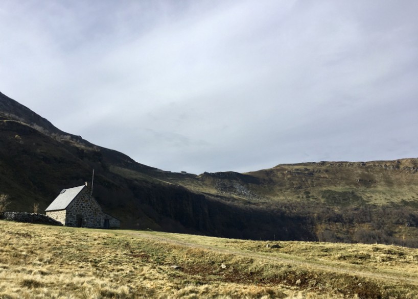
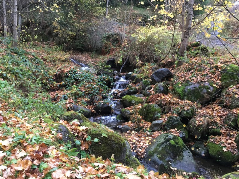
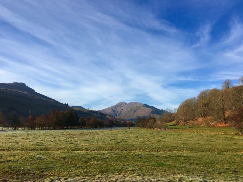
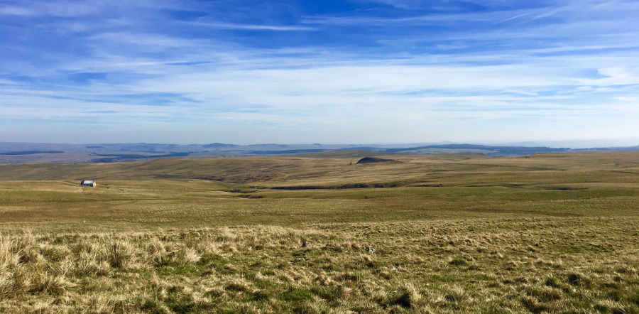
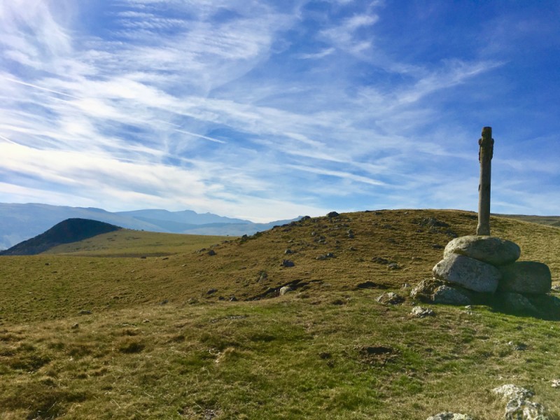
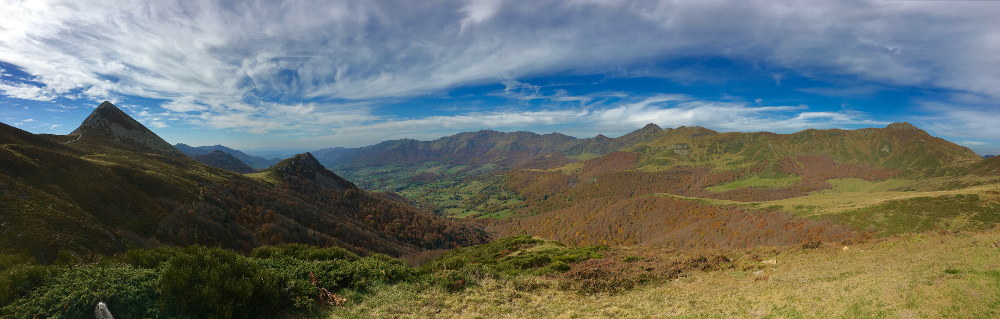
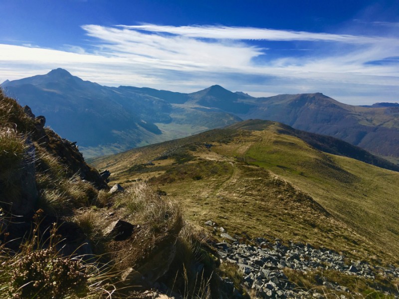
This route starting from the Col de Serre will take you on alpine paths, between pastures and crests with an incusrion at the bottom of the valley to discover the villages of Lavigerie and Dienne. A difficult route because of its length, that it will be necessary to realize with good weather to take full advantage of the exceptional panoramas throughout the route.
The characteristics of the route.

Le Claux (15)
- Distance 29.6 km
- Elevation gain 1123 m
- Elevation lost 1124 m
- Min. elevation 1048 m
- Max. elevation. 1649 m
- Duration (depending on pace) 2h20 à 6h50
- Marking 43 red
Fredery
finished in 04:18:00
The 2021/05/30
En savoir plus
Ajouter votre chrono et partager vos sensations
2021/05/30 04:18:00
Fredery
Fredery
Circuit long et exigeant avec de très belles portions, notamment le tour de Peyre Arse et le final autour du Puy de Niermont.
Par contre la jonction entre lavigerie et sienne est vraiment longue et sans intérêt de mon point de vue. Mais ça semble être le passage obligé pour rejoindre les 2 incontournables de la vallée.
Services nearby

Meublé-M Loubeyre René
Le Claux

Gîte d'étape et de Séjour du Puy-Mary
Le Claux

Auberge d'Aijean
Lavigerie
Meublé-Mme Jannet Claire
Le Claux

Chambres d'Hôtes Lavialle
Le Claux


Follow us on
the digital trails
the digital trails


![]()


OK
Annuler