Route 52 - Le Rocher de Laqueille
Add to my favorites

Route closed
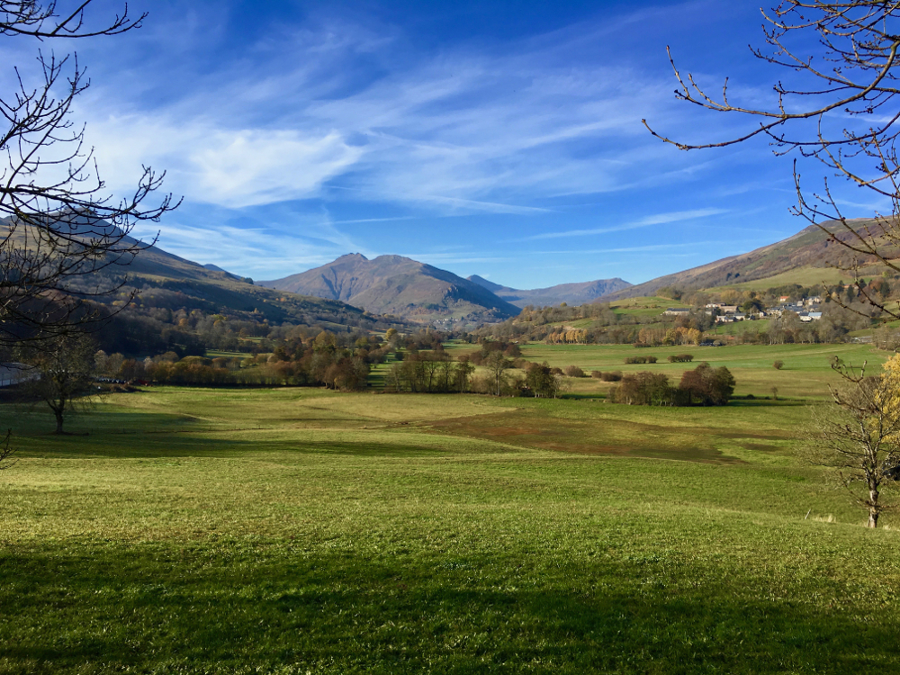
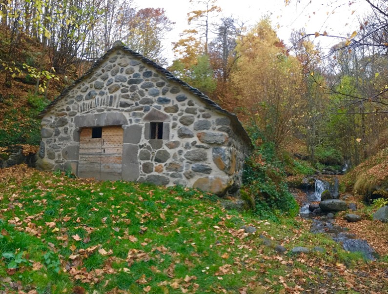
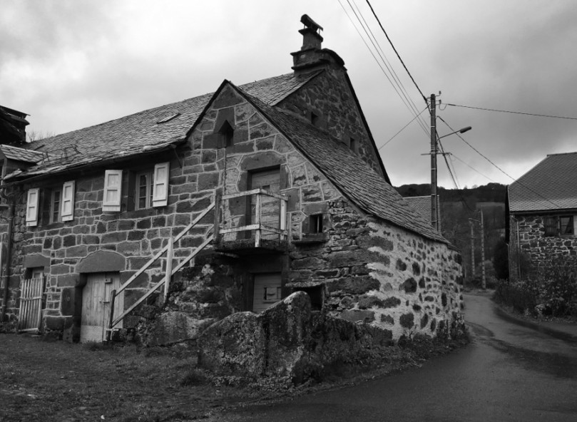
From Dienne, this route will allow you to make a short loop in the heart of the valley of Santoire, between Dienne and Drils. You will evolve on a very varied and hilly terrain, between paths, technical trails and small country roads. It will be ideal to carry out a varied training, while raising.
The characteristics of the route.
Dienne (15)
- Distance 6.8 km
- Elevation gain 229 m
- Elevation lost 230 m
- Min. elevation 1048 m
- Max. elevation. 1170 m
- Duration (depending on pace) 0h40 à 1h20
- Marking 52 green
Add your time and share your feelings
Services nearby

Maison de Site of Dienne
Dienne
B&B Monts et Délices
Dienne

Terres2Cimes (prestataire)
Dienne
Château de la Cheyrelle
Dienne
Tible René
Dienne


Follow us on
the digital trails
the digital trails


![]()


OK
Annuler