Show the map
Vallée de la Burdinale et de la Mehaigne
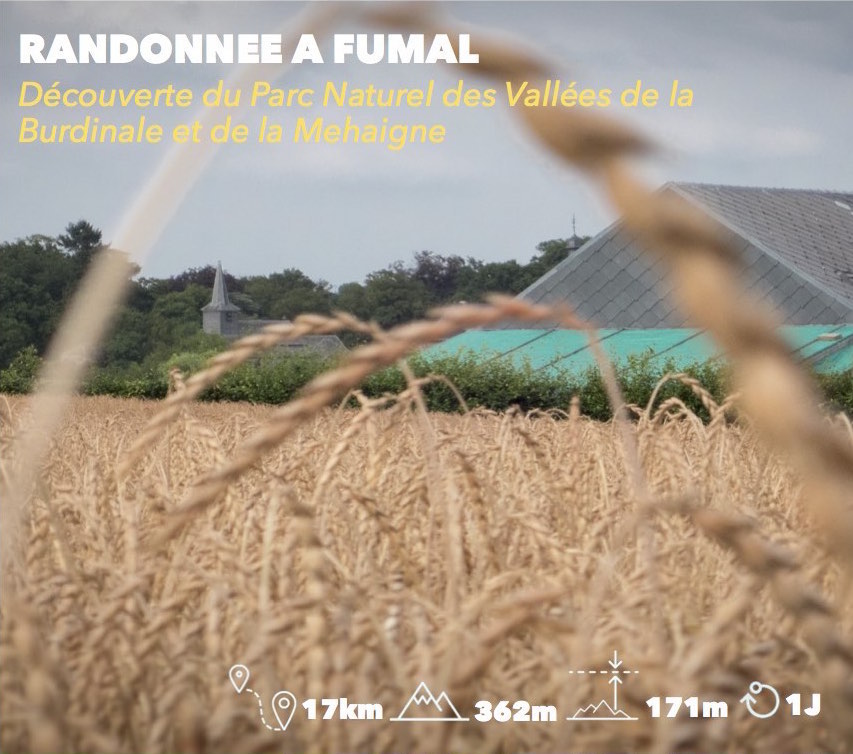


17.36 km
451 m
451 m
 Fumal (BE)
 Points of Interest table
| Accum. | Intermediary | |||||||
|---|---|---|---|---|---|---|---|---|
| POI | Description | Alt. | Dist. | D+ | D- | Dist. | D+ | D- |
Trace n°24449
Ascent threshold : 0 m Distance threshold : 30 m Smoothing : Yes Origin of altitudes : MNT Google
Ascent threshold : 0 m Distance threshold : 30 m Smoothing : Yes Origin of altitudes : MNT Google
Loop
Dominant terrain : Path
Max alti. : 175 m
Avg alti. : 123 m
Min alti. : 85 m
Longest ascent : 80 m
Longest descent : 110 m
Route completed by the author : Yes
Dominant terrain : Path
Max alti. : 175 m
Avg alti. : 123 m
Min alti. : 85 m
Longest ascent : 80 m
Longest descent : 110 m
Route completed by the author : Yes
Elevation profile
More tools
Create a new roadbook page
Map and track on your website
Warning ! When you insert a Trace de Trail map on your website, you agree not to hide any element of the module (links to Trail Trail or Trail Connect banner)
Add a realisation
Validate
Add a realisation to share your chrono and describe the conditions that you encountered during you trail running !
Add a comment
Validate
fafer137
25/07/21, 22:26:25
Parcours sympa et varié. Attention, le chemin au km 2 est privé. Il faut contourner cette colline en prenant à droite au km 1.
25/07/21, 22:26:25
Parcours sympa et varié. Attention, le chemin au km 2 est privé. Il faut contourner cette colline en prenant à droite au km 1.
Show the infos
Add a track


