Show the map
Trail de Mauves en Vert 2016 - 56 km
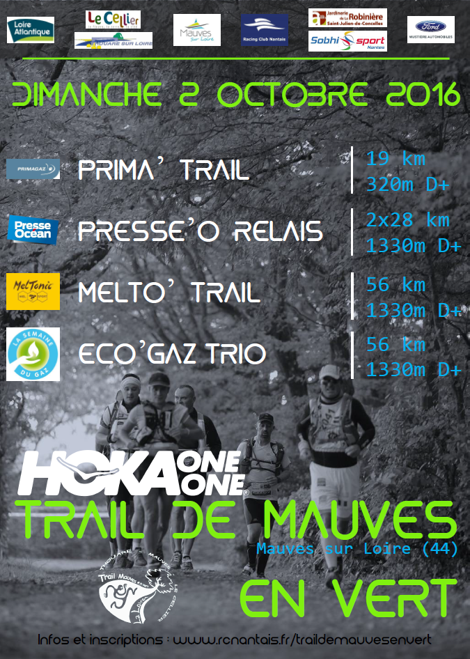


 Mauves-sur-Loire (44)
 Mauves-sur-Loire (44)
 Points of Interest table
| Accum. | Intermediary | |||||||
|---|---|---|---|---|---|---|---|---|
| POI | Description | Alt. | Dist. | D+ | D- | Dist. | D+ | D- |
 Competition organized on 10/02/2016
Trace n°22451
Ascent threshold : 3 m Distance threshold : 30 m Smoothing : Yes Origin of altitudes : MNT Aster GDEM
Ascent threshold : 3 m Distance threshold : 30 m Smoothing : Yes Origin of altitudes : MNT Aster GDEM
Loop
Dominant terrain : Footpath
Max alti. : 77 m
Avg alti. : 40 m
Min alti. : 6 m
Longest ascent : 70 m
Longest descent : 70 m
Dominant terrain : Footpath
Max alti. : 77 m
Avg alti. : 40 m
Min alti. : 6 m
Longest ascent : 70 m
Longest descent : 70 m
Elevation profile
More tools
Create a new roadbook page
Map and track on your website
Warning ! When you insert a Trace de Trail map on your website, you agree not to hide any element of the module (links to Trail Trail or Trail Connect banner)
Add a realisation
Validate
Add a realisation to share your chrono and describe the conditions that you encountered during you trail running !
Add a comment
Validate
Admin - Trace de Trail
04/06/16, 12:53:17
Comme vous avez fait ! Par contre je vous renomme la trace pour la mettre en minuscules et en précisant l'année.
04/06/16, 12:53:17
Comme vous avez fait ! Par contre je vous renomme la trace pour la mettre en minuscules et en précisant l'année.
More comments
Admin - Trace de Trail
03/06/16, 21:51:47
Bonjour, Merci de préciser le nom de votre compétition avant de la placer en publique.
03/06/16, 21:51:47
Bonjour, Merci de préciser le nom de votre compétition avant de la placer en publique.
Show the infos
Warning ! This track is only accessible on the day of the competition.
Add a track


