Show the map
Certified Track - ITRA
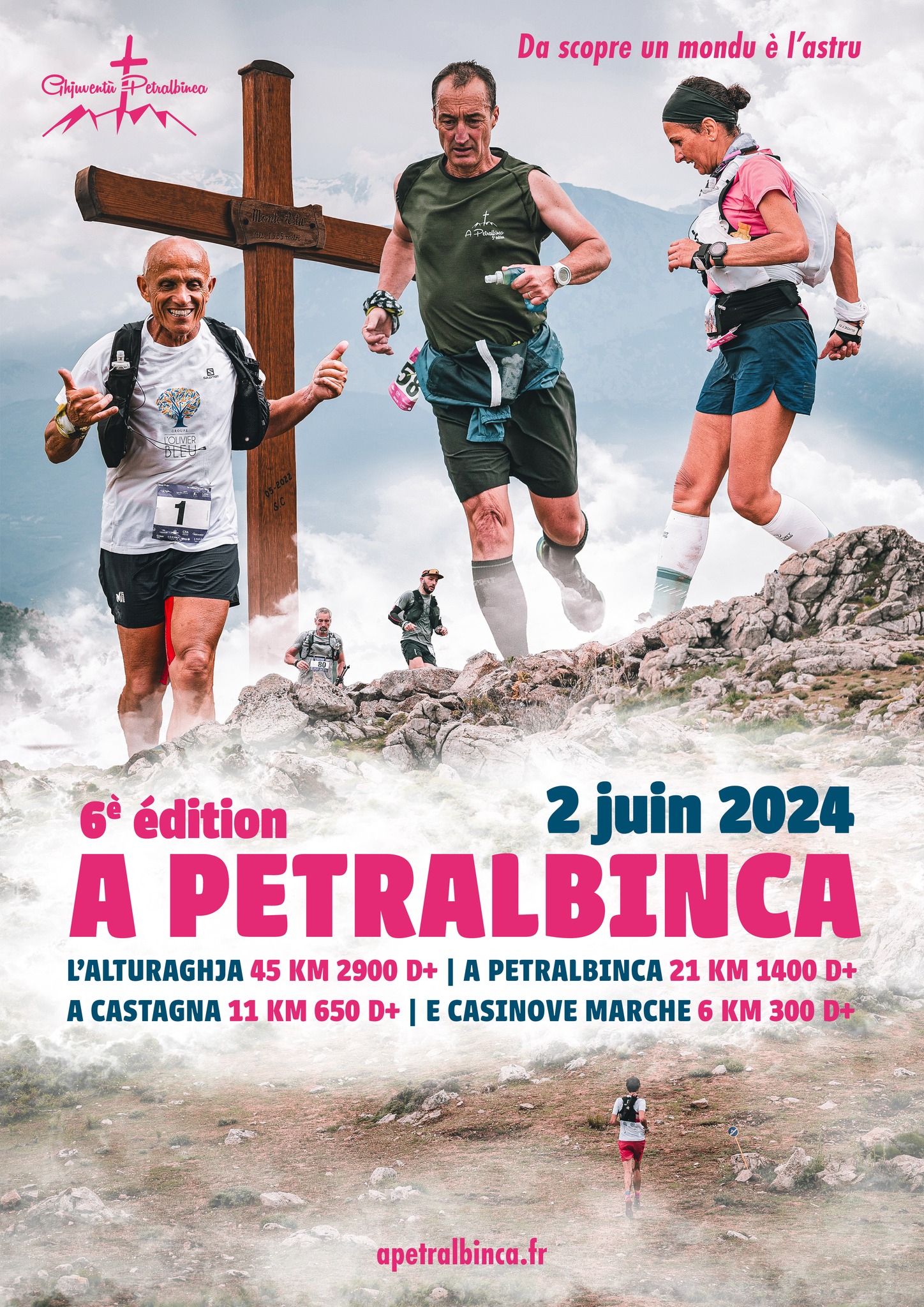
A petralbinca


 Pietralba (2B)
 Pietralba (2B)


The race crosses the paths of Lama passing by the refuge of Prunincu, San Gavinu di Tenda, Sorio: Monte Astu, Bocca di i banditi; Pieve: Bocca di Tenda where the battle of Sampieru took place in 1554, and returns to Pietralba: Sterpapane fountain, Tenda plateau, and Casinove…
Points of Interest table
| Accum. | Intermediary | |||||||
|---|---|---|---|---|---|---|---|---|
| POI | Description | Alt. | Dist. | D+ | D- | Dist. | D+ | D- |
 Competition organized on 06/02/2024
Trace n°204493
Ascent threshold : 3 m Distance threshold : 30 m Smoothing : Yes Origin of altitudes : MNT Aster GDEM
Ascent threshold : 3 m Distance threshold : 30 m Smoothing : Yes Origin of altitudes : MNT Aster GDEM
Loop
Dominant terrain : Path
Max alti. : 1502 m
Avg alti. : 1008 m
Min alti. : 425 m
Longest ascent : 650 m
Longest descent : 1040 m
Dominant terrain : Path
Max alti. : 1502 m
Avg alti. : 1008 m
Min alti. : 425 m
Longest ascent : 650 m
Longest descent : 1040 m
Elevation profile
More tools
Create a new roadbook page
Map and track on your website
Warning ! When you insert a Trace de Trail map on your website, you agree not to hide any element of the module (links to Trail Trail or Trail Connect banner)
Add a realisation
Validate
Add a realisation to share your chrono and describe the conditions that you encountered during you trail running !
Add a comment
Validate
Show the infos
Add a track


