Show the map
OFFICIAL ROUTE
Parcours 13 rouge - Collet rouge


23.5 km
1180 m
1170 m
 Bédoin (84)
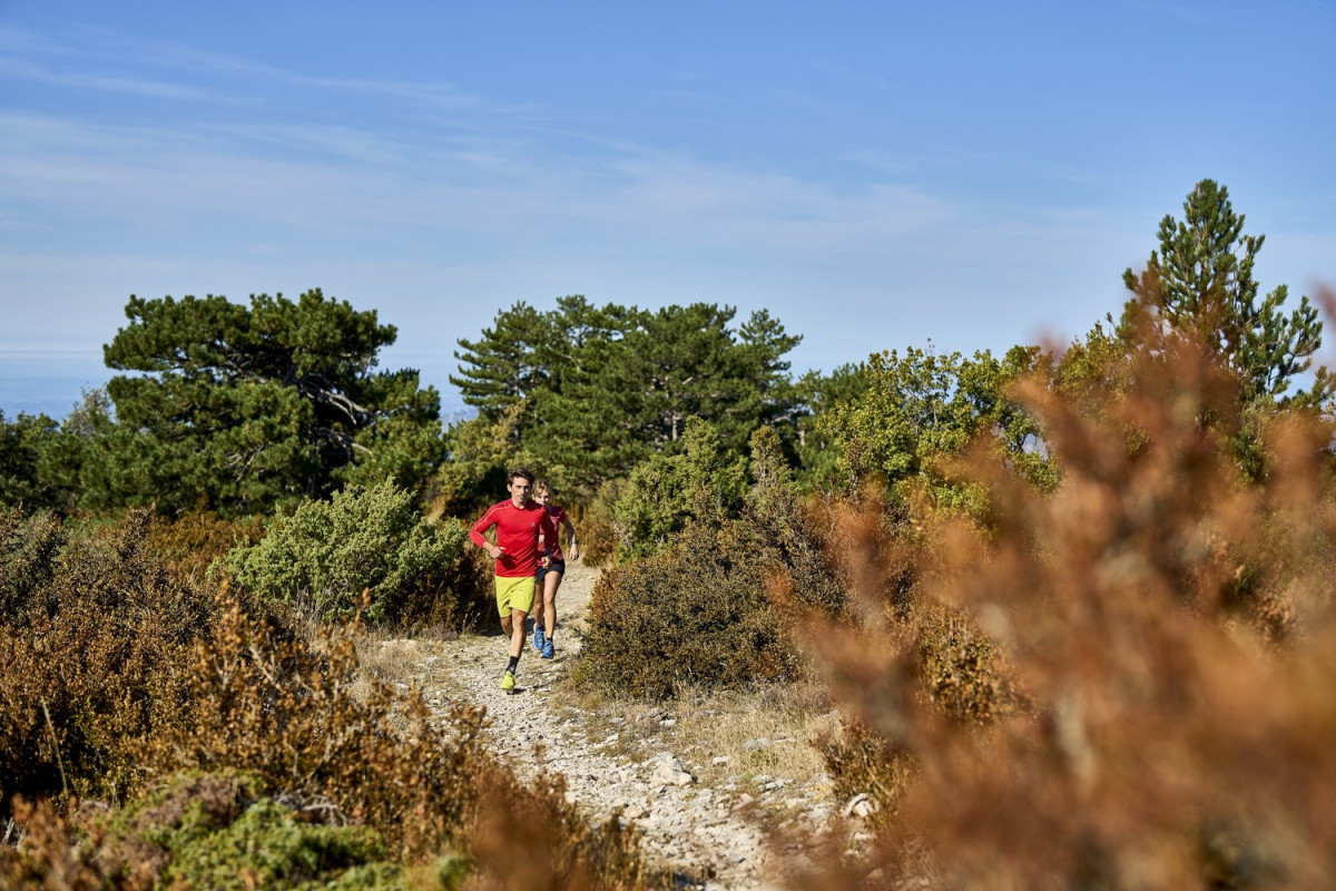
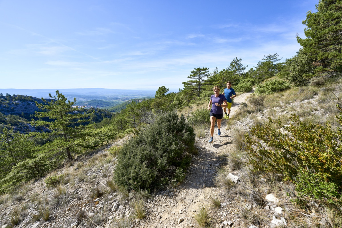
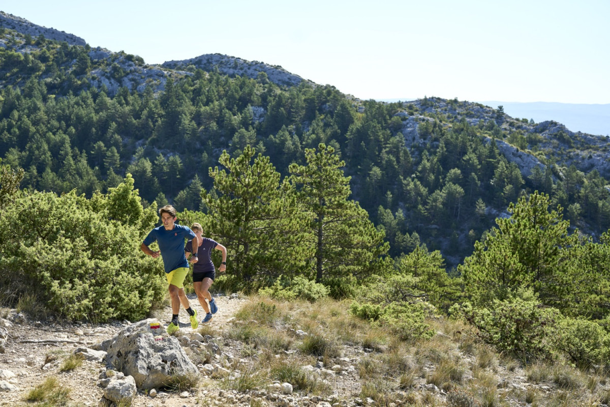
Vue en crête sur le Comtat Venaissin et les Alpes.
Attention partie en crête souvent froide et ventée.
Parcours majoritairement ombragé.
©Damien Rosso
Points of Interest table
| Accum. | Intermediary | |||||||
|---|---|---|---|---|---|---|---|---|
| POI | Description | Alt. | Dist. | D+ | D- | Dist. | D+ | D- |
Trace n°199815
Ascent threshold : 3 m Distance threshold : 30 m Smoothing : Yes Origin of altitudes : MNT IGN
Ascent threshold : 3 m Distance threshold : 30 m Smoothing : Yes Origin of altitudes : MNT IGN
Loop
Dominant terrain : Footpath
Max alti. : 1199 m
Avg alti. : 663 m
Min alti. : 309 m
Longest ascent : 470 m
Longest descent : 910 m
Route completed by the author : Yes
Dominant terrain : Footpath
Max alti. : 1199 m
Avg alti. : 663 m
Min alti. : 309 m
Longest ascent : 470 m
Longest descent : 910 m
Route completed by the author : Yes
Elevation profile
More tools
Create a new roadbook page
Map and track on your website
Warning ! When you insert a Trace de Trail map on your website, you agree not to hide any element of the module (links to Trail Trail or Trail Connect banner)
Add a realisation
Validate
Add a realisation to share your chrono and describe the conditions that you encountered during you trail running !
Add a comment
Validate
Show the infos
Add a track


