Circuit n°14 du Roudour
Add to my favorites

Caution: Due to the storms that happened in November, some tracks may be impracticable or closed. Before going out, please contact the local authorities to have more information.
Warning
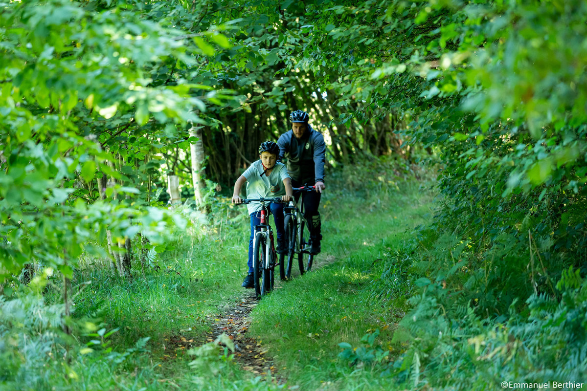
Au départ de Gurunhuel, vous suivrez chemins et sentiers qui vous conduiront au cœur de la forêt domaniale de Coat An Hay. A la fin de votre balade, prenez quelques minutes pour rejoindre le hameau du Miniou afin d'admirer un beau panorama de la vallée du Léguer.
The characteristics of the route.
Gurunhuel (22)
- Distance 15.2 km
- Elevation gain 270 m
- Elevation lost 270 m
- Min. elevation 126 m
- Max. elevation. 290 m
- Duration (depending on pace) 1h30
- Marking Station VTT

Find all the routes in your smartphone
Available this summer, the application Coeur de Bretagne will allow you to find all the trail running and hiking trails on your smartphone.
You will find many features in this application:
- locate yourself the route
- download data for offline access
- take advantage of detailed IGN maps
- add your chrono on the route
- find the services nearby...

Add your time and share your feelings
Services nearby

Moulin de Ponchou-Léguer
Belle-Isle-en-Terre

Office de tourisme de Guingamp - Baie de Paimpol - Accueil Belle-Isle-en-Terre
Belle-Isle-en-Terre
Gîte de Loc Envel
Loc Envel
Office de tourisme de Guingamp - Baie de Paimpol
Guimgamp
Office de tourisme de Guingamp - Baie de Paimpol - Accueil Callac
Callac


Follow us on
the digital trails
the digital trails


![]()
Infos & contact
Destination Coeur de Bretagne - Kalon Breizh
6 rue Joseph Pennec
22110 Rostrenen
Tel. +33(0)2 96 29 26 53


OK
Annuler