
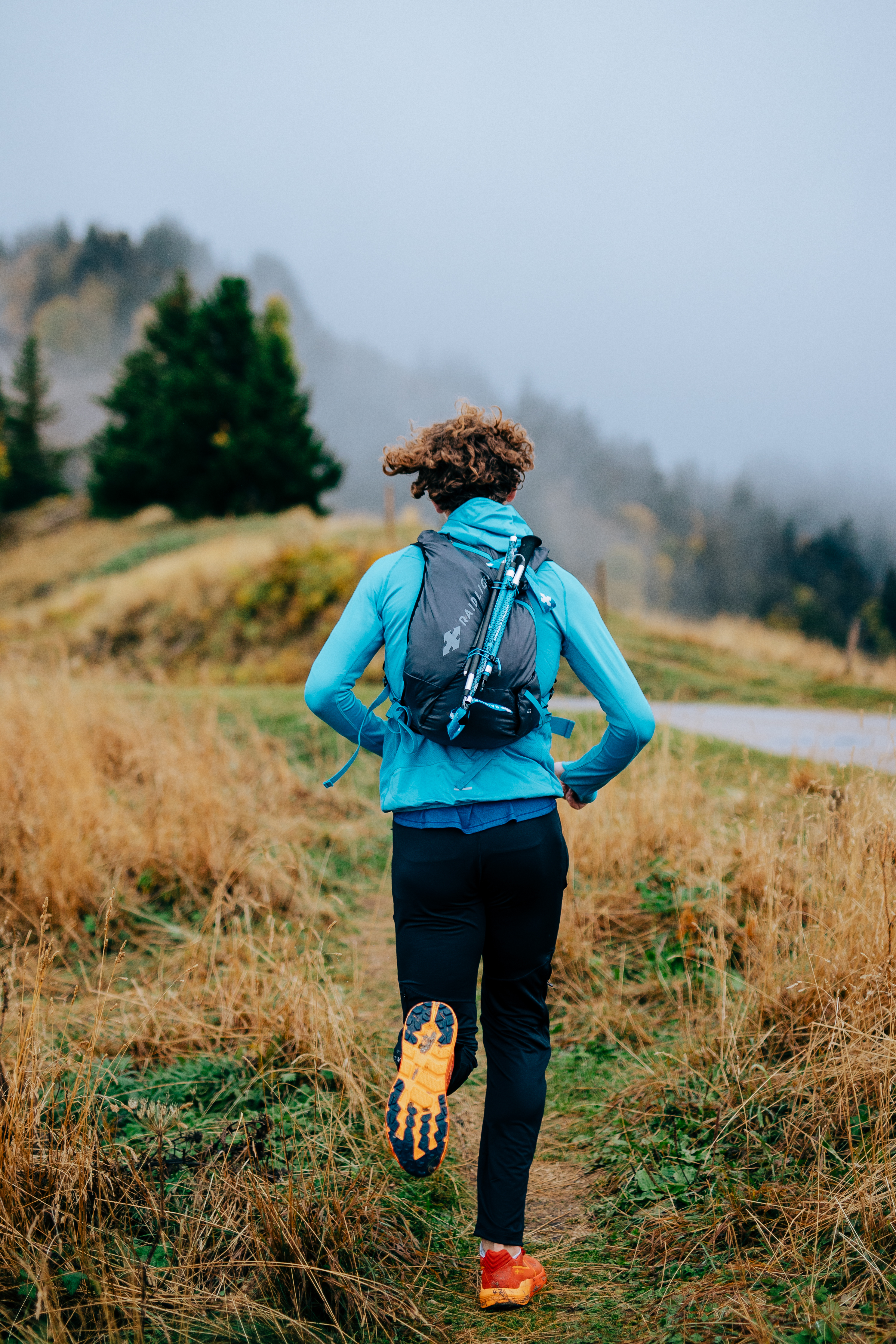
A breathtaking view from the various peaks over the Loup valley, the Corsica's and Mercantour's peaks and the sparkling Côte d'Azur.
By Frédéric A.
- Distance 20 km
- Elevation gain 1160 m
- Elevation lost 1170 m
- Min. elevation 560 m
- Max. elevation. 1261 m
- Duration (depending on pace) 3h à 5h
- Start from the chemin des salles (b112) above Vence towards the ford of Malvan (b114).
- Follow the GR to b115 and turn left for 50m then right and follow the tracks towards the electricity pylon and the summit (1024m).
- Continue towards b178 and then ahead until you reach b176. At the intersection towards le caire (left) for 450m take the path on the right which will join the track towards the domaine des courmettes (b 187 bis).
- Go through the gate and climb 350m then take the path on the left (red path) to go through the forest of centuries-old oaks. Continue along the road until you reach the track and then turn right to marker 189. On the way to the Courmettes peak (1248m).
- Continue straight on towards the puy de Tourrettes (1268m). Turn right onto the path that will take you back to the B176 and join the B178, then turn left down into the Combe de la Baisse to get back to the path at the start (B115). From there, return to the starting point.
Leave early for a beautiful sunrise !


the digital trails


![]()
Infos & contacts
Raidlight
Le Bourg
38 380 Saint-Pierre-de-Chartreuse
www.raidlight.com
xp@raidlight.com

