Show the map
OFFICIAL ROUTE
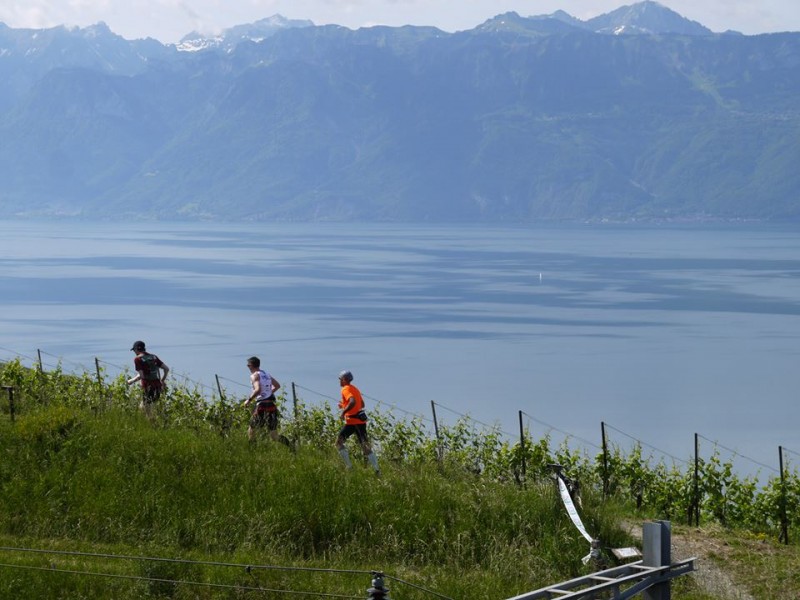
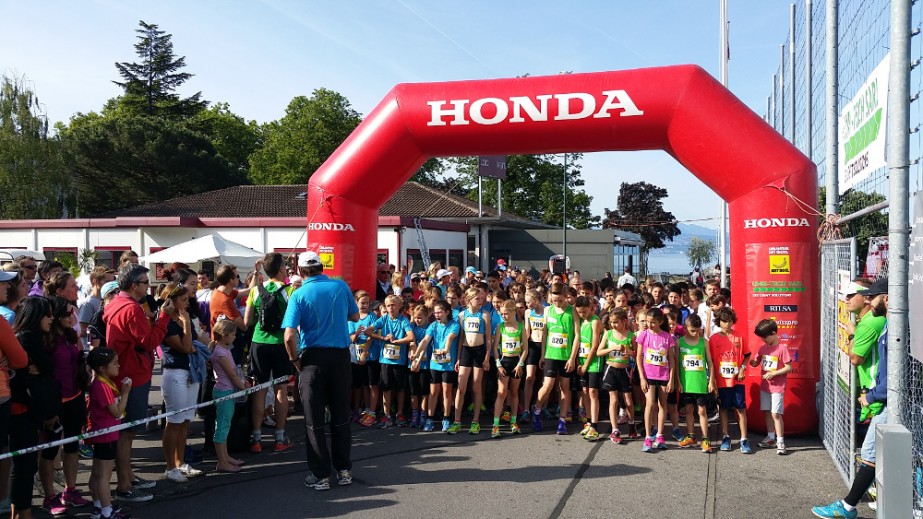
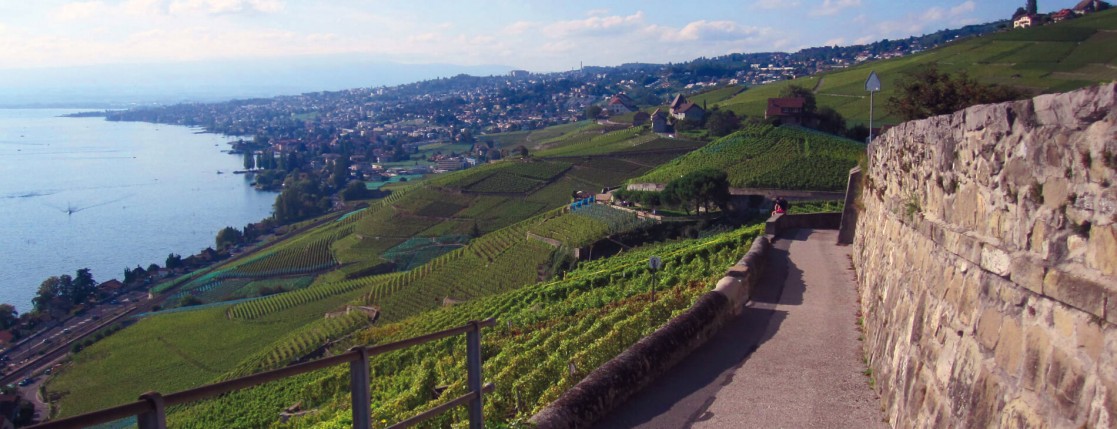
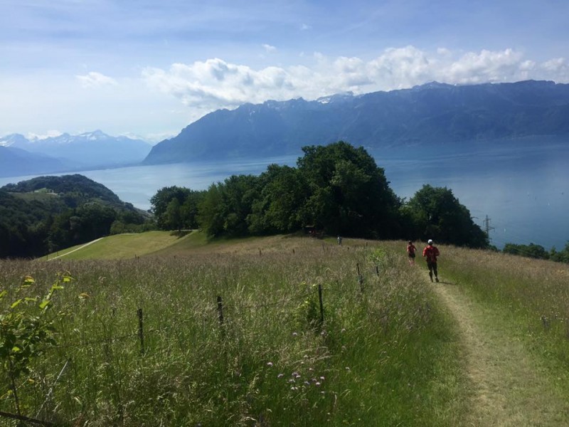
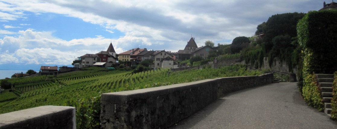
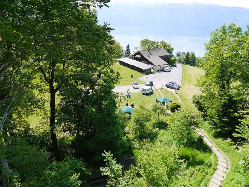
Urban Trail des Singes 2016 - 20 km


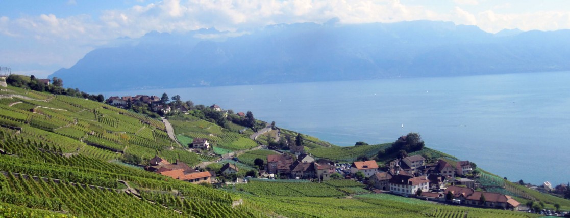
 Lutry (CH)
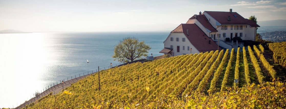
Points of Interest table
| Accum. | Intermediary | |||||||
|---|---|---|---|---|---|---|---|---|
| POI | Description | Alt. | Dist. | D+ | D- | Dist. | D+ | D- |
 Competition organized on 05/29/2016
Trace n°17627
Ascent threshold : 3 m Distance threshold : 30 m Smoothing : Yes Origin of altitudes : MNT Aster GDEM
Ascent threshold : 3 m Distance threshold : 30 m Smoothing : Yes Origin of altitudes : MNT Aster GDEM
Loop
Dominant terrain : Road
Max alti. : 912 m
Avg alti. : 558 m
Min alti. : 381 m
Longest ascent : 410 m
Longest descent : 250 m
Dominant terrain : Road
Max alti. : 912 m
Avg alti. : 558 m
Min alti. : 381 m
Longest ascent : 410 m
Longest descent : 250 m
Elevation profile
More tools
Create a new roadbook page
Map and track on your website
Warning ! When you insert a Trace de Trail map on your website, you agree not to hide any element of the module (links to Trail Trail or Trail Connect banner)
Add a realisation
Validate
Add a realisation to share your chrono and describe the conditions that you encountered during you trail running !
Add a comment
Validate
Show the infos
Add a track


