Col de l'Arzelier - Le Mauret
Add to my favorites

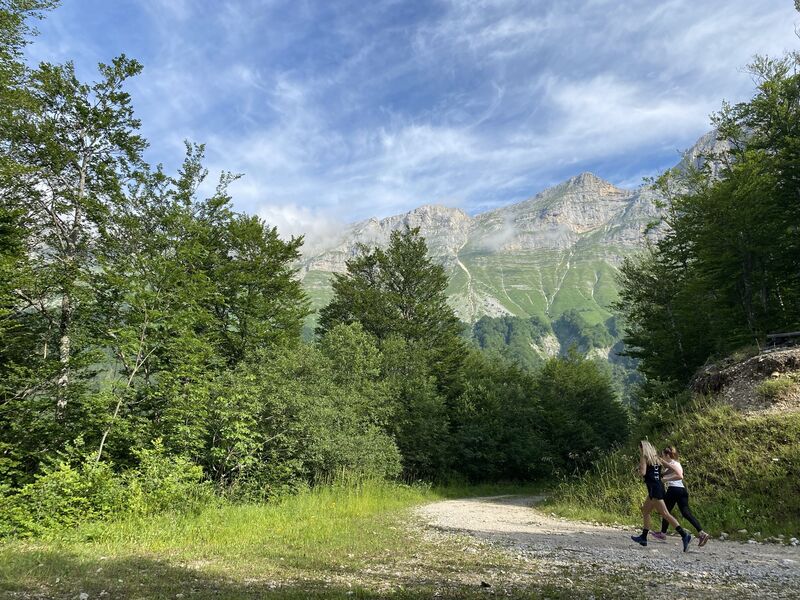
Découvrez l’univers du trail à travers un parcours découverte. Il vous permettra de parcourir les bois de la commune de Château-Bernard.
The characteristics of the route.

Château-Bernard (38)
- Distance 6.1 km
- Elevation gain 270 m
- Elevation lost 270 m
- Min. elevation 1044 m
- Max. elevation. 1267 m
- Marking Yes
Equipments : Public WC, Car park, Admission fee : Free access.Opening : All year round.
Area : Trièves
Report a problem Add a comment
Features of the application :
- Location and orientation on detailed maps thanks to the GPS of your smartphone
- Description of routes and points of interest on the route
- Photo gallery by route
- Detailed elevation profile
- Route tracking alert to warn you if you stray from the route
- Send predefined messages by SMS to your contacts
- Emergency module: trigger a call or send an emergency SMS in case of problem
- Agenda: access to events organized in the department
- News: find in the application the latest news on the web portal
- Adding achievements
- Add reports in case of problems encountered on the routes
- Share on social networks
Add your time and share your feelings
Services nearby

Refuge La Soldanelle
Château-Bernard

Atelier Gilioli
Saint-Martin-de-la-Cluze

Foyer de ski de fond des Hauts Plateaux
Corrençon-en-Vercors
Maison du Patrimoine
Villard-de-Lans

Bureau d'Informations Touristiques de Gresse en Vercors - Office de Tourisme du Trièves
Gresse-en-Vercors


Information updated on 2022-04-13 by Département de l'Isère


Follow us on
the digital trails
the digital trails


![]()
The Isère Outdoor application was created
by the Département de l'Isère
Infos & contact
Conseil départemental de l'Isère
7 rue Fantin Latour
CS 41096
38 022 Grenoble cedex 1
Tel. 04 76 00 38 38


OK
Annuler