Col de l'Arzelier - Le Font Bessou
Add to my favorites

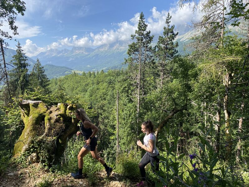
Une boucle parfaite pour découvrir les bois du Col de l’Arzelier en profitant des belles montagnes du Trièves. Idéal pour des sorties familiales.
The characteristics of the route.

Château-Bernard (38)
- Distance 9.4 km
- Elevation gain 430 m
- Elevation lost 430 m
- Min. elevation 967 m
- Max. elevation. 1272 m
- Marking Yes
Equipments : Public WC, Car park, Admission fee : Free access.Opening : All year round.
Area : Trièves
Report a problem Add a comment
Features of the application :
- Location and orientation on detailed maps thanks to the GPS of your smartphone
- Description of routes and points of interest on the route
- Photo gallery by route
- Detailed elevation profile
- Route tracking alert to warn you if you stray from the route
- Send predefined messages by SMS to your contacts
- Emergency module: trigger a call or send an emergency SMS in case of problem
- Agenda: access to events organized in the department
- News: find in the application the latest news on the web portal
- Adding achievements
- Add reports in case of problems encountered on the routes
- Share on social networks
Add your time and share your feelings
Services nearby

Refuge La Soldanelle
Château-Bernard

Atelier Gilioli
Saint-Martin-de-la-Cluze

Foyer de ski de fond des Hauts Plateaux
Corrençon-en-Vercors
Maison du Patrimoine
Villard-de-Lans

Bureau d'Informations Touristiques de Gresse en Vercors - Office de Tourisme du Trièves
Gresse-en-Vercors


Information updated on 2022-04-13 by Département de l'Isère


Follow us on
the digital trails
the digital trails


![]()
The Isère Outdoor application was created
by the Département de l'Isère
Infos & contact
Conseil départemental de l'Isère
7 rue Fantin Latour
CS 41096
38 022 Grenoble cedex 1
Tel. 04 76 00 38 38


OK
Annuler