N°3 - Giru di L'Isula - Munticellu - Palmentu
Add to my favorites

Trails open but nature still shows the scars of the July fire in the area
Route opened
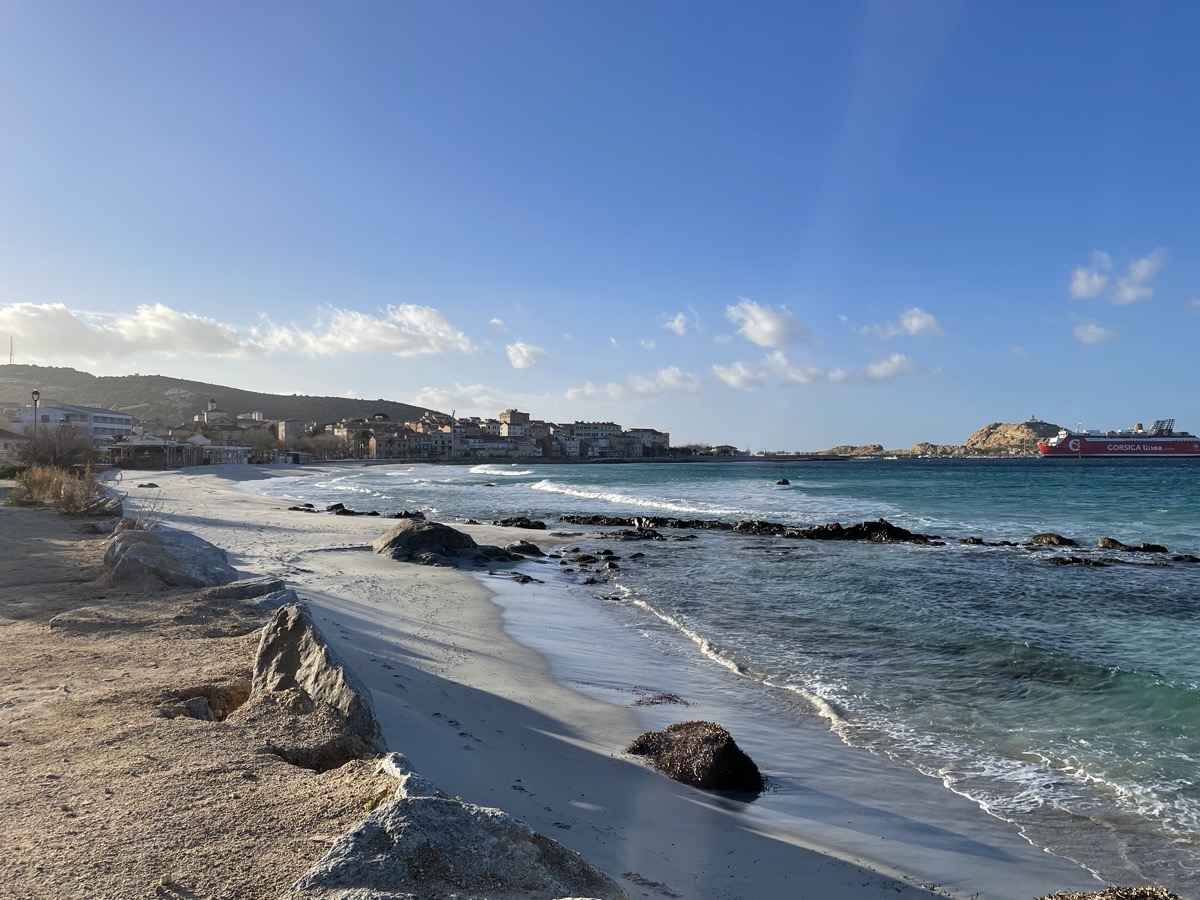
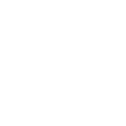
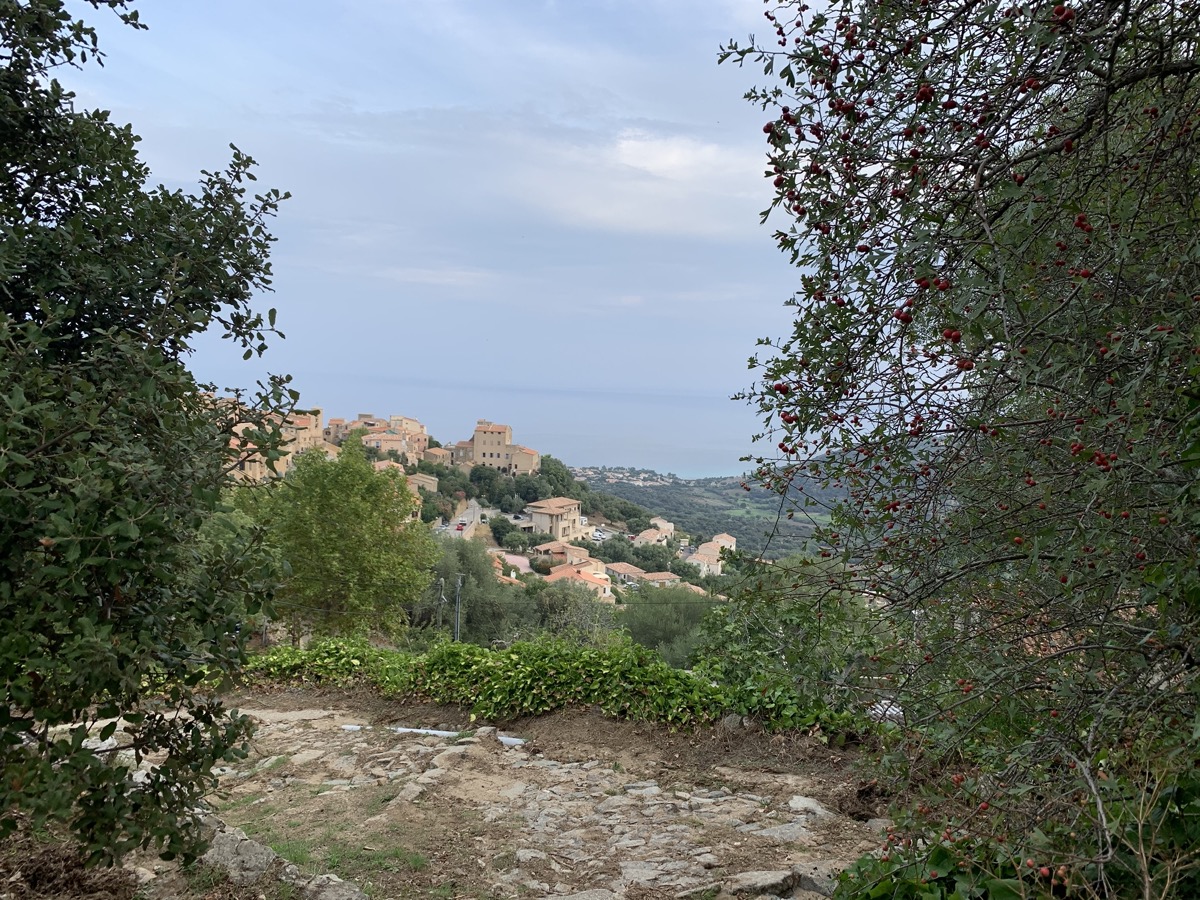
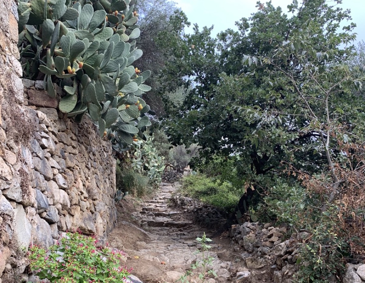
Departing from the seaside, this route takes you to the heights of L'Ile-Rousse to discover the hilltop villages of Monticello and Santa Reparata di Balagna.
You'll alternate between paths, old mule tracks and wider tracks on a varied itinerary offering magnificent panoramas of L'Ile-Rousse, the coastline and the Regino valley.
The characteristics of the route.

L'Île-Rousse (2B)
- Distance 16.4 km
- Elevation gain 480 m
- Elevation lost 480 m
- Min. elevation 1 m
- Max. elevation. 327 m
- Duration (depending on pace) 1h45 à 3h30
- Marking Trail-running n°3 blue
Report a problem 2 comment
PDF map
Add your time and share your feelings
Services nearby

L'Acula Marina
L'Île-Rousse

Résidence Dary
L'Île-Rousse
Résidence Saletta Mare
L'Île-Rousse

Proxi Vito L'Ile-Rousse
L'Île-Rousse
Balagne Bikes - B Bikes
L'Ile-Rousse


Follow us on
the digital trails
the digital trails


![]()
Infos & contacts
Tourism Office
Île Rousse Balagne
+33(0)4 95 60 04 35


OK
Annuler