Du Rocher de la Mule à Las Clauzades
Add to my favorites

Route opened
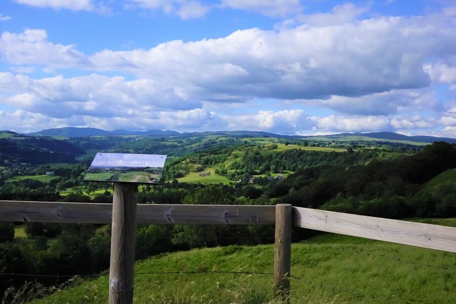
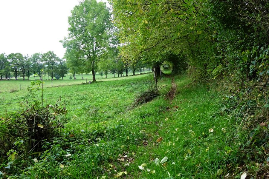
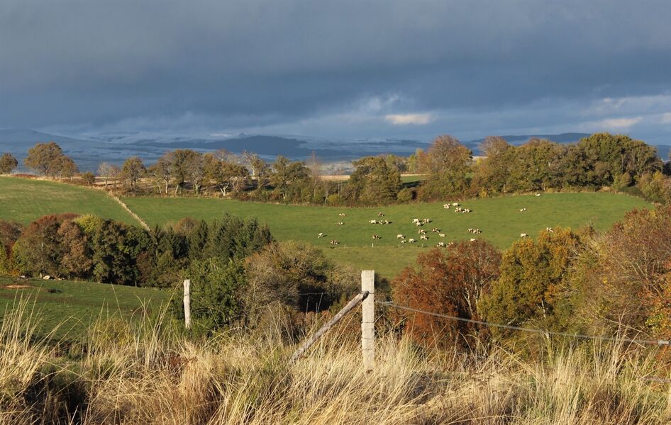
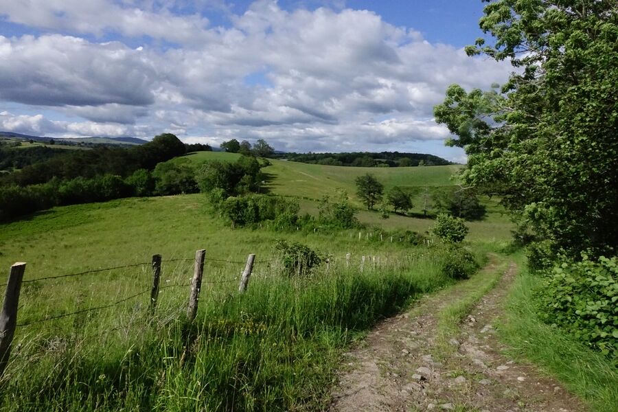
This hike offers magnificent panoramic view over the Monts du Cantal, the River Goul valley and north Aveyron, winding its way from the village of Raulhac to the heights of the basalt rock table of Las Clauzades.
The characteristics of the route.
Raulhac (15)
- Distance 9.6 km
- Elevation gain 250 m
- Elevation lost 250 m
- Min. elevation 732 m
- Max. elevation. 905 m
- Duration (depending on pace) 3h15
- Marking Yes
Marking : Marked-out walking circuit - Yellow markingEquipments : Car park, Admission fee : Free access.Opening : All year round.
Subject to favorable snow and weather conditions.
Area : Raulhac
Report a problem Add a comment
Add your time and share your feelings
Services nearby
Auberge de Raulhac
Raulhac
Chez Mimi - Triplex
Raulhac
Chez Mimi - La Petite Maison
Raulhac
Chez Mimi - La Petite Tour
Raulhac

Chez Mimi Bistrot
Raulhac


Information updated on 2021-11-29 by Office de Tourisme du Carladès


Contact Carladès area
Carladès Tourist Office
Avenue A. Mercier
15800 Vic-sur-Cère
Tel. 04.71.47.50.68
Carladès Tourisme
tourisme@carlades.fr
![]()
Contact Hautes Terres area
Hautes Terres Tourist Office
Pl. Hôtel de ville - 15300 Murat
Tel. 04.71.20.09.47
Hautes Terres Tourisme
contact@hautesterrestourisme.fr
@hautesterrestourisme
@hautesterrestourisme


OK
Annuler