The Buron Trail
Add to my favorites

Route closed
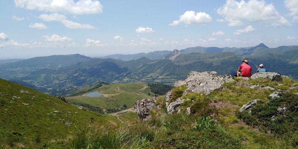
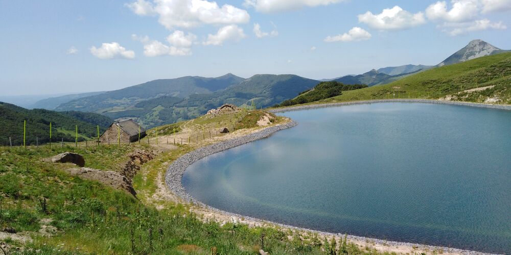
Ascent to Plomb du Cantal: the highest point in the département, offering one of the finest panoramas in the Massif Central. The orientation table at the summit helps you identify the many features of the panorama.
The characteristics of the route.
Le Lioran (15)
- Distance 12.2 km
- Elevation gain 770 m
- Elevation lost 770 m
- Min. elevation 1232 m
- Max. elevation. 1854 m
- Duration (depending on pace) 4h
- Marking Yes
Marking : Green signposting.Equipments : Play area, Picnic area, Car park, Orientation board, Free car park, Good plans : -For your safety, please check the weather forecast before setting off on your hike. -To preserve the environment in which you are located, please avoid leaving garbage in nature. -Remember to take the appropriate equipment for the weather conditions and the hiking itinerary (hiking boots, water bottle, cap, sunglasses, jacket...).Delicate passages : Difficult descent to Puy du Rocher: ladders set into the rock. Not recommended in foggy weather. Frequent snow accumulation in spring near ridges (Plomb du Cantal, Pas des Alpins).Admission fee : Free access.Opening : All year round.
Subject to favorable snow and weather conditions.
Read before you go!
Difficult descent to Puy du Rocher: ladders set into the rock. Not recommended in foggy weather. Frequent snow accumulation in spring near ridges (Plomb du Cantal, Pas des Alpins).
Difficult descent to Puy du Rocher: ladders set into the rock. Not recommended in foggy weather. Frequent snow accumulation in spring near ridges (Plomb du Cantal, Pas des Alpins).
Area : Le Lioran
Report a problem Add a comment
Pdf file
Add your time and share your feelings
Services nearby
J'Sports - Centre
Le Lioran

Mérigot Michel - Bordat Catherine - Claire Mérigot
Le Lioran
Chez Anne
Le Lioran
Bike Academie
Le Lioran
Jarassier Gilbert
Le Lioran


Information updated on 2022-05-20 by Hautes Terres Tourisme


Contact Carladès area
Carladès Tourist Office
Avenue A. Mercier
15800 Vic-sur-Cère
Tel. 04.71.47.50.68
Carladès Tourisme
tourisme@carlades.fr
![]()
Contact Hautes Terres area
Hautes Terres Tourist Office
Pl. Hôtel de ville - 15300 Murat
Tel. 04.71.20.09.47
Hautes Terres Tourisme
contact@hautesterrestourisme.fr
@hautesterrestourisme
@hautesterrestourisme


OK
Annuler