Le Puech
Add to my favorites

Route opened
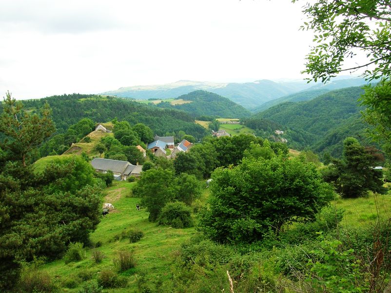
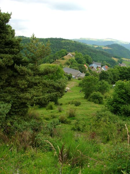
Une belle randonnée pour sillonner les plateaux du Cézallier tout en profitant d'une jolie vue sur les Monts du Cantal et la Margeride.
The characteristics of the route.
Peyrusse (15)
- Distance 9.9 km
- Elevation gain 330 m
- Elevation lost 330 m
- Min. elevation 923 m
- Max. elevation. 1139 m
- Duration (depending on pace) 3h
- Marking Yes
Marking : Yellow markingsEquipments : Car park, Free car park, Good plans : -For your safety, please check the weather forecast before setting off on your hike. -To preserve the environment in which you are located, please avoid leaving garbage in nature. -Remember to take the appropriate equipment for the weather conditions and the hiking itinerary (hiking boots, water bottle, cap, sunglasses, jacket...).Delicate passages : Mountain biking not recommended.Admission fee : Free access.Opening : All year round.
Subject to favorable weather.
Read before you go!
Mountain biking not recommended.
Mountain biking not recommended.
Report a problem Add a comment
Website Pdf file
Add your time and share your feelings
Services nearby

Le Fromentou - Jouve-Teissedre Stéphanie
Peyrusse
Jouve Pascal furniture
Peyrusse
Reuss Wolfgang
Joursac

Farm campsite - Les Carlines
Peyrusse

Voyageurs Hotel
Ferrières-Saint-Mary


Information updated on 2022-05-23 by Hautes Terres Tourisme


Contact Carladès area
Carladès Tourist Office
Avenue A. Mercier
15800 Vic-sur-Cère
Tel. 04.71.47.50.68
Carladès Tourisme
tourisme@carlades.fr
![]()
Contact Hautes Terres area
Hautes Terres Tourist Office
Pl. Hôtel de ville - 15300 Murat
Tel. 04.71.20.09.47
Hautes Terres Tourisme
contact@hautesterrestourisme.fr
@hautesterrestourisme
@hautesterrestourisme


OK
Annuler