Les Creys - 14 km - Bleu
Add to my favorites

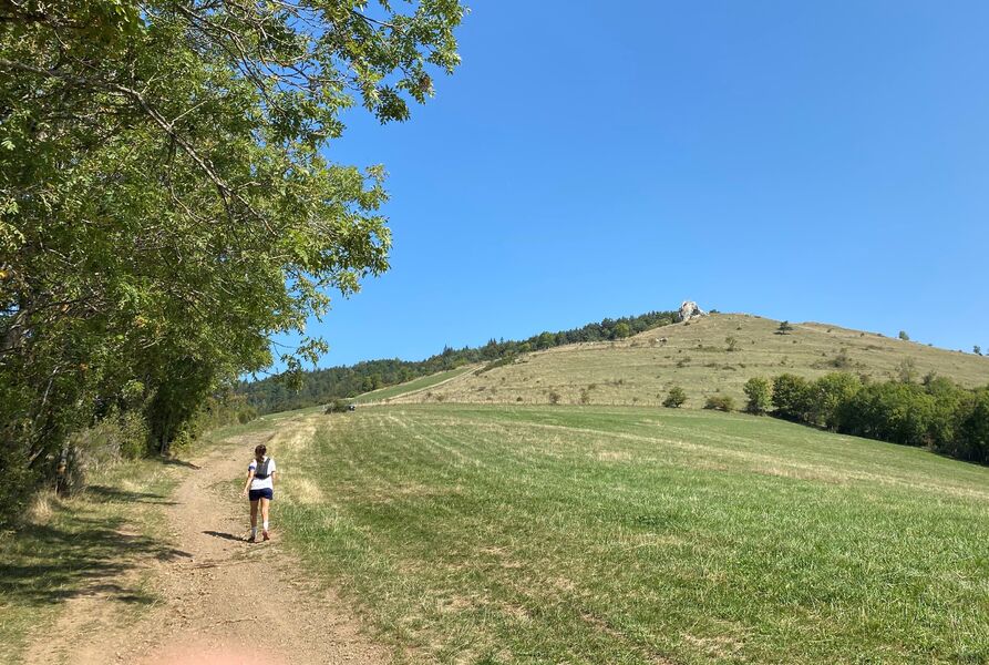
Parcours sur pistes. Montée régulière avec vue sur la Pierre Percée. La suite en forêt alterne vues sur les montagnes et les lacs.
The characteristics of the route.

La Motte-d'Aveillans (38)
- Distance 13.7 km
- Elevation gain 660 m
- Elevation lost 660 m
- Min. elevation 964 m
- Max. elevation. 1243 m
- Marking Yes
Admission fee : Free access.Opening : All year round.
Area : Matheysine
Report a problem Add a comment
Website Pdf file Features of the application :
- Location and orientation on detailed maps thanks to the GPS of your smartphone
- Description of routes and points of interest on the route
- Photo gallery by route
- Detailed elevation profile
- Route tracking alert to warn you if you stray from the route
- Send predefined messages by SMS to your contacts
- Emergency module: trigger a call or send an emergency SMS in case of problem
- Agenda: access to events organized in the department
- News: find in the application the latest news on the web portal
- Adding achievements
- Add reports in case of problems encountered on the routes
- Share on social networks
Add your time and share your feelings
Services nearby

Musuem "La Mine Image"
La Motte-d'Aveillans

Maison du Tourisme de La Motte d'Aveillans
La Motte-d'Aveillans

Belvédère Olivier Messiaen
Saint-Théoffrey
Museum "Musée Matheysin"
La Mure
Atelier Gilioli
Saint-Martin-de-la-Cluze


Information updated on 2021-08-04 by Matheysine Tourisme


Follow us on
the digital trails
the digital trails


![]()
The Isère Outdoor application was created
by the Département de l'Isère
Infos & contact
Conseil départemental de l'Isère
7 rue Fantin Latour
CS 41096
38 022 Grenoble cedex 1
Tel. 04 76 00 38 38


OK
Annuler