La Coutume
Add to my favorites

Between October and March, before leaving for the forest, remember to consult the hunting calendars on the site www.onf.fr
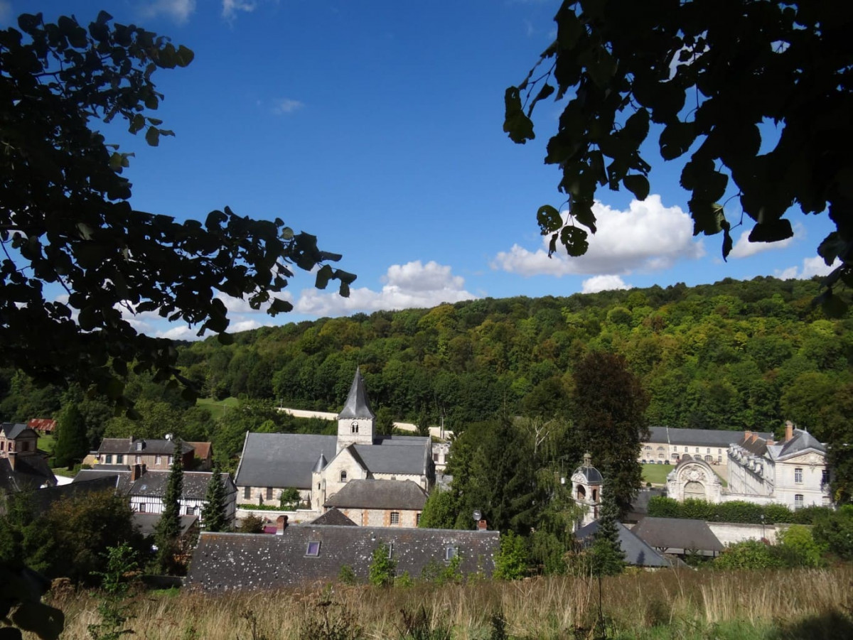
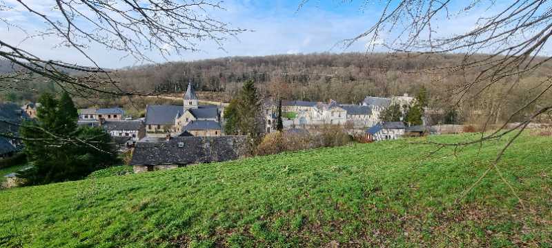
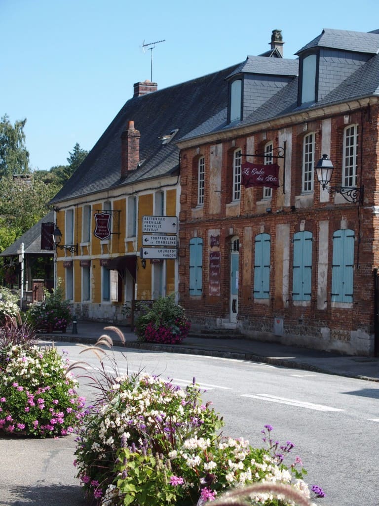
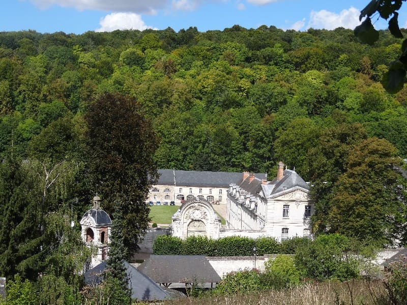
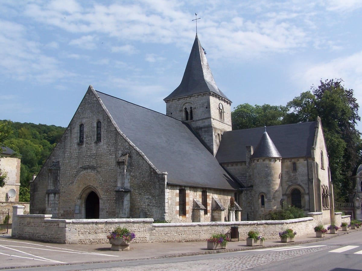
Saint-Wandrille-Rançon est un petit village niché au coeur de la vallée de Fontenelle et enlacé par la forêt du Trait-Maulévrier. Vous débuterez cette balade à partir du bourg puis vous pénétrerez dans la forêt. A la sortie de celle ci, un magnifique point de vue s’offre à vous sur l’abbaye de Fontenelle.
The characteristics of the route.

Saint-Wandrille-Rançon (76)
- Distance 8.7 km
- Elevation gain 130 m
- Elevation lost 130 m
- Min. elevation 16 m
- Max. elevation. 120 m
- Duration (depending on pace) 2h30
- Marking Vert Forêt
TaZzOuXx
finished in 02:20:00
The 2022/02/17
En savoir plus
Bouquets
finished in 02:00:00
The 2021/08/08
En savoir plus
Ajouter votre chrono et partager vos sensations
2021/08/08 02:00:00
Bouquets
Bouquets
Il faut aimer la forêt.
Services nearby

Skáli
RIVES-EN-SEINE

Abbaye de Saint Wandrille Rançon, boutique
RIVES-EN-SEINE
L'Escargot de Saint-Wandrille
RIVES-EN-SEINE
Normand'Truites
RIVES-EN-SEINE
Le 1973
RIVES-EN-SEINE


Follow us on
the digital trails
the digital trails


![]()
Infos & contacts
Caux Seine Normandie Tourist Office
Abbaye du Valasse 76210 Gruchet-le-Valasse
+33(0)2.32.70.46.32
Website
send mail


OK
Annuler