La boucle du Rocleu
Add to my favorites

Caution: Due to the storms that happened in November, some tracks may be impracticable or closed. Before going out, please contact the local authorities to have more information.
Warning
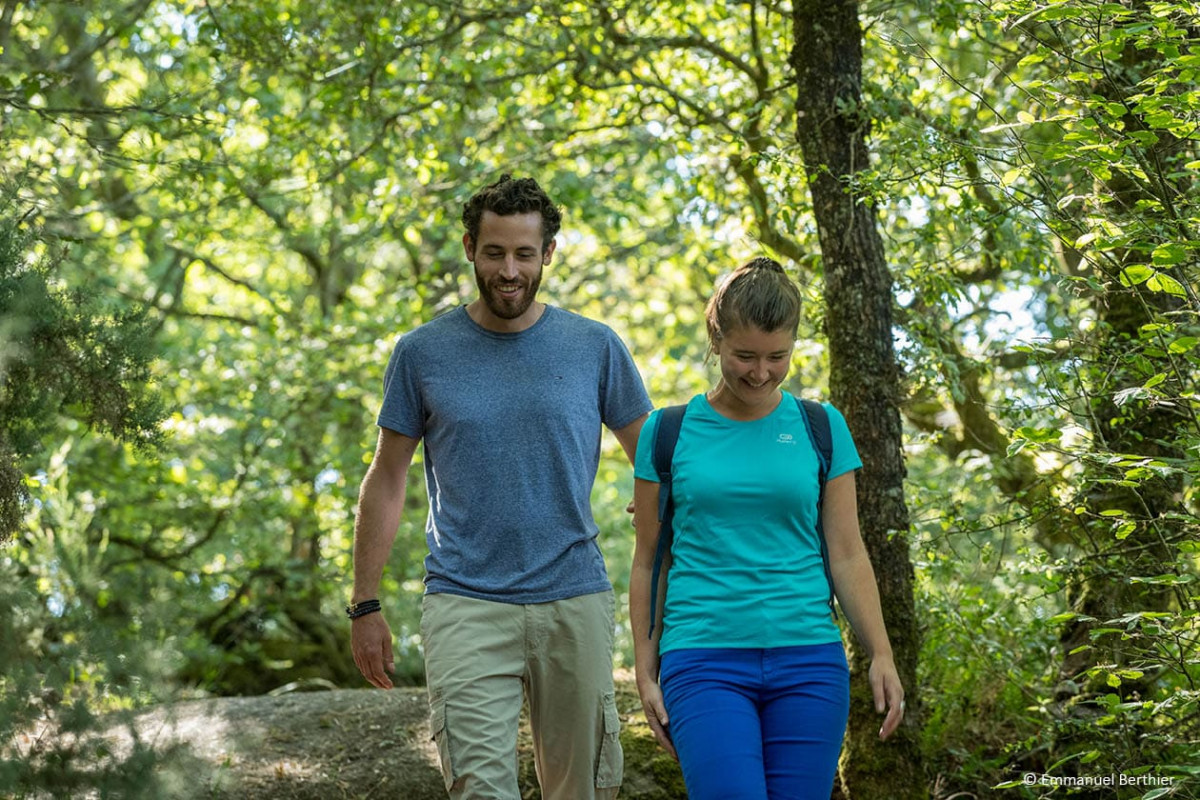
Le plan d'eau artificiel "Le Rocleu" de 13 hectares fait partie intégrante de la retenue départementale de Kerné Uhel. Ce site est très riche sur le plan faunistique et ornithologique. Un observatoire vous permettra d'observer les oiseaux du Rocleu. Petite boucle sans difficulté au départ de la base nautique de Pen Ar C'hoat.
The characteristics of the route.
Trémargat (22)
- Distance 4.2 km
- Elevation gain 60 m
- Elevation lost 60 m
- Min. elevation 220 m
- Max. elevation. 242 m
- Duration (depending on pace) 1h
- Marking Yellow
Area : Kreiz Breizh
Report a problem Add a comment

Find all the routes in your smartphone
Available this summer, the application Coeur de Bretagne will allow you to find all the trail running and hiking trails on your smartphone.
You will find many features in this application:
- locate yourself the route
- download data for offline access
- take advantage of detailed IGN maps
- add your chrono on the route
- find the services nearby...

Add your time and share your feelings
Services nearby

Gite Colet Even Bras
Colet even Bras 22480 Peumerit-Quintin

Team du Pélem
Saint Nicolas du Pélem

Trail Team du Pélem
Saint Nicolas du Pélem

Les routes de la transition
Rostrenen
Henri4
Rostrenen


Follow us on
the digital trails
the digital trails


![]()
Infos & contact
Destination Coeur de Bretagne - Kalon Breizh
6 rue Joseph Pennec
22110 Rostrenen
Tel. +33(0)2 96 29 26 53


OK
Annuler