Circuit des landes
Add to my favorites

Caution: Due to the storms that happened in November, some tracks may be impracticable or closed. Before going out, please contact the local authorities to have more information.
Warning
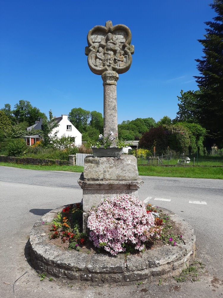
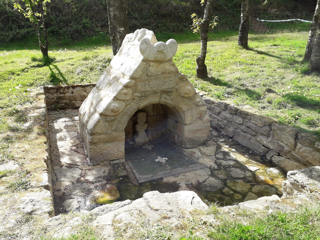
Ce circuit vallonné et bocager emprunte de nombreux chemins creux au sud de la commune de Bignan. Il est étonnant de découvrir une croix ou une fontaine au croisement d’un chemin ou au milieu d’un bois. Ce circuit réserve quelques grimpettes mais aussi plusieurs points de vue remarquables. Au départ de la salle des sports de Bignan.
Route labeled FFRandonnée

The characteristics of the route.
Bignan (56)
- Distance 13 km
- Elevation gain 280 m
- Elevation lost 280 m
- Min. elevation 78 m
- Max. elevation. 178 m
- Duration (depending on pace) 4h
- Marking Yellow
Pour plus de détails, voir la topo fiche.
Area : Centre Morbihan
Report a problem Add a comment
Topo fiche - Circuit des landes 
Find all the routes in your smartphone
Available this summer, the application Coeur de Bretagne will allow you to find all the trail running and hiking trails on your smartphone.
You will find many features in this application:
- locate yourself the route
- download data for offline access
- take advantage of detailed IGN maps
- add your chrono on the route
- find the services nearby...

Add your time and share your feelings
Services nearby

Domaine de Kerguéhennec
Bignan

JVS Cycling
Locminé

Office de tourisme de Locminé
Locminé
Véloccasion 56
Moustoir-Ac

Les gîtes du Graal
Plumelin


Follow us on
the digital trails
the digital trails


![]()
Infos & contact
Destination Coeur de Bretagne - Kalon Breizh
6 rue Joseph Pennec
22110 Rostrenen
Tel. +33(0)2 96 29 26 53


OK
Annuler