Circuit de la Butte de Malvran
Add to my favorites

Caution: Due to the storms that happened in November, some tracks may be impracticable or closed. Before going out, please contact the local authorities to have more information.
Warning
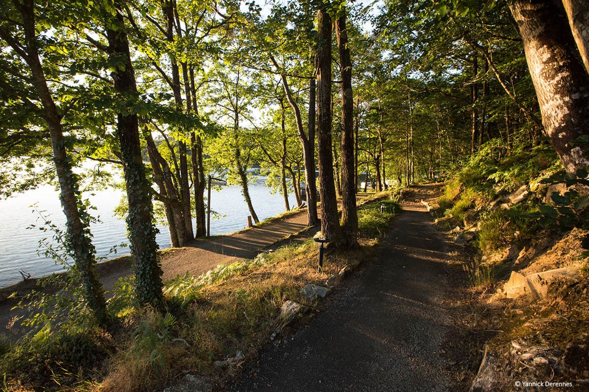
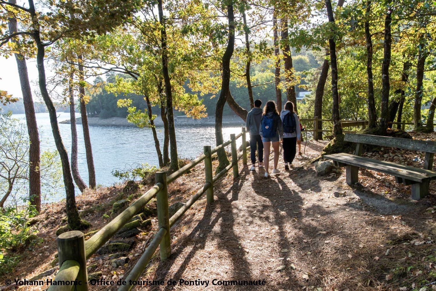
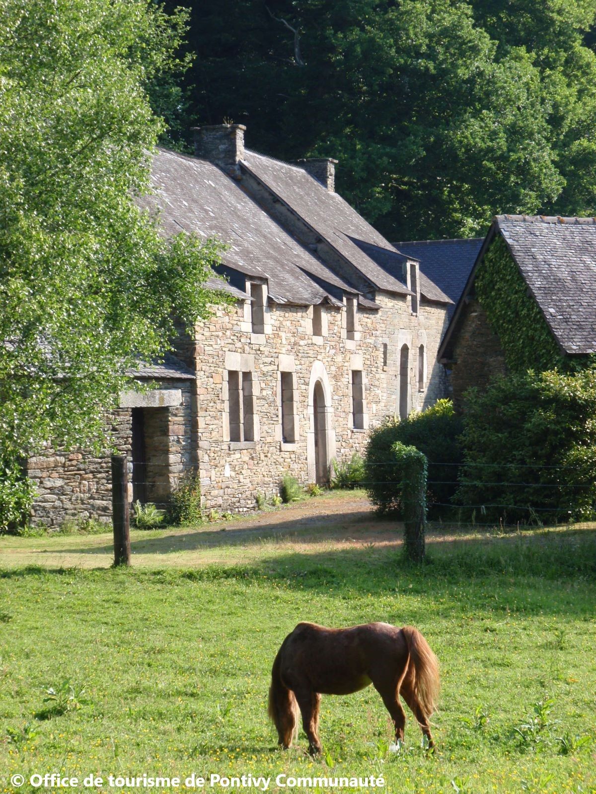
Un environnement exceptionnel où l’eau et la forêt s’unissent à merveille ! Saint-Aignan, fortement marquée par les contraintes géographiques se situe dans le coude du Blavet sur un territoire largement boisé et escarpé. Mais ces mêmes contraintes sont aujourd’hui son plus bel atout… Au plaisir des randonneurs curieux de découvrir le lac de Guerlédan et la forêt de Quénécan. Départ depuis le parking de l’anse de Sordan
The characteristics of the route.
Saint-Aignan (22)
- Distance 12.6 km
- Elevation gain 330 m
- Elevation lost 330 m
- Min. elevation 112 m
- Max. elevation. 223 m
- Duration (depending on pace) 3h30
- Marking Red
Pour plus de détails, voir la topo fiche.
Read before you go!
Parcours ouvert du 1er mars au 30 septembre.
Parcours ouvert du 1er mars au 30 septembre.
Area : Pontivy
Report a problem Add a comment
Topo fiche - Circuit de la Butte de Malvran 
Find all the routes in your smartphone
Available this summer, the application Coeur de Bretagne will allow you to find all the trail running and hiking trails on your smartphone.
You will find many features in this application:
- locate yourself the route
- download data for offline access
- take advantage of detailed IGN maps
- add your chrono on the route
- find the services nearby...

Add your time and share your feelings
Services nearby

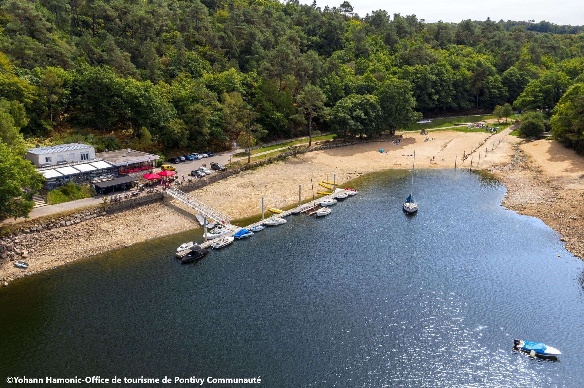
Lac de Guerlédan
Lac de Guerlédan

Point information de Beau Rivage
Beau Rivage - Caurel

Gîte Le Cosquer
Bon-Repos-sur-Blavet
Ty Bris
Bon Repos sur Blavet
ROZ AVEL
17 rue de La Traversière 22530 Caurel


Follow us on
the digital trails
the digital trails


![]()
Infos & contact
Destination Coeur de Bretagne - Kalon Breizh
6 rue Joseph Pennec
22110 Rostrenen
Tel. +33(0)2 96 29 26 53


OK
Annuler