
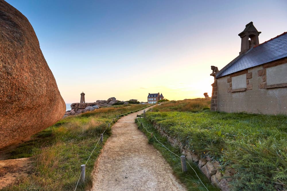
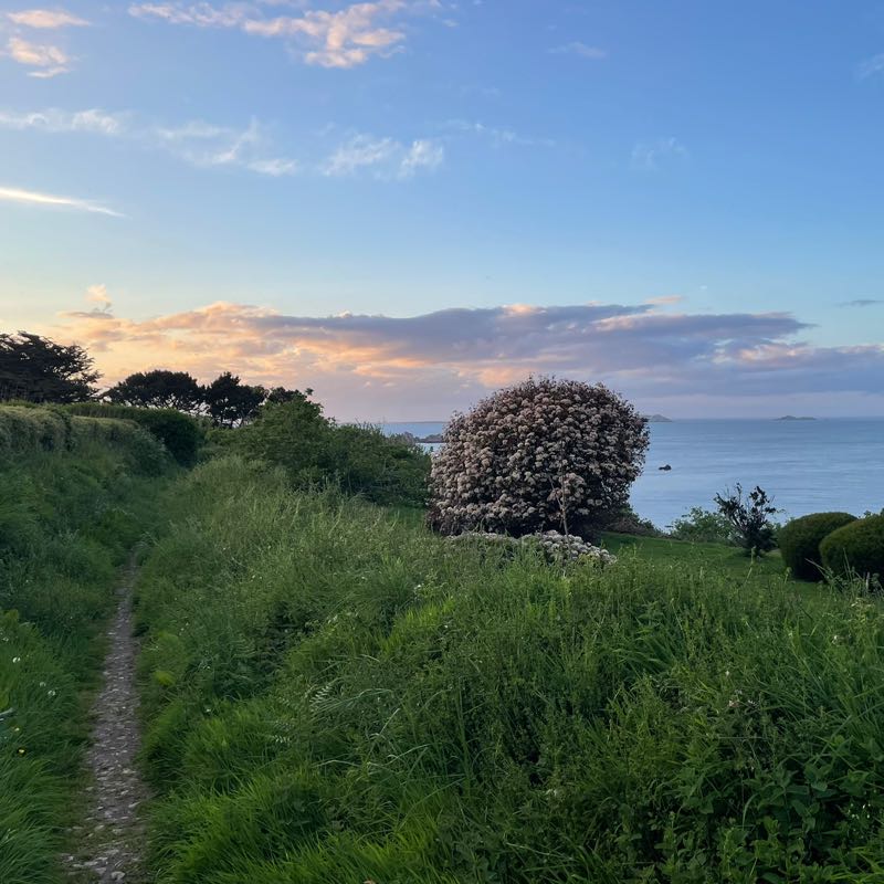
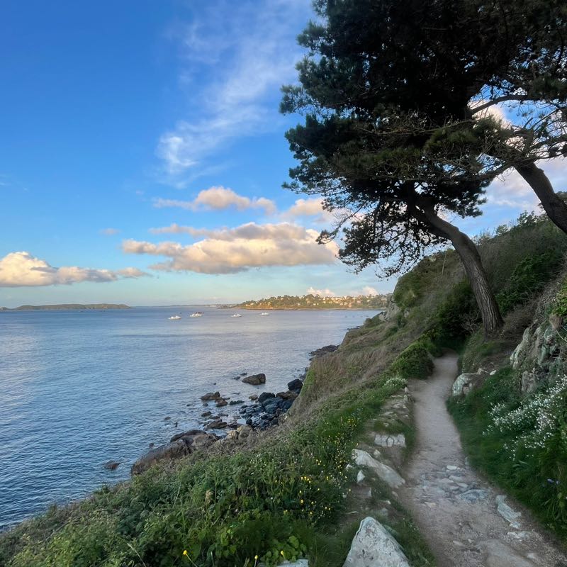
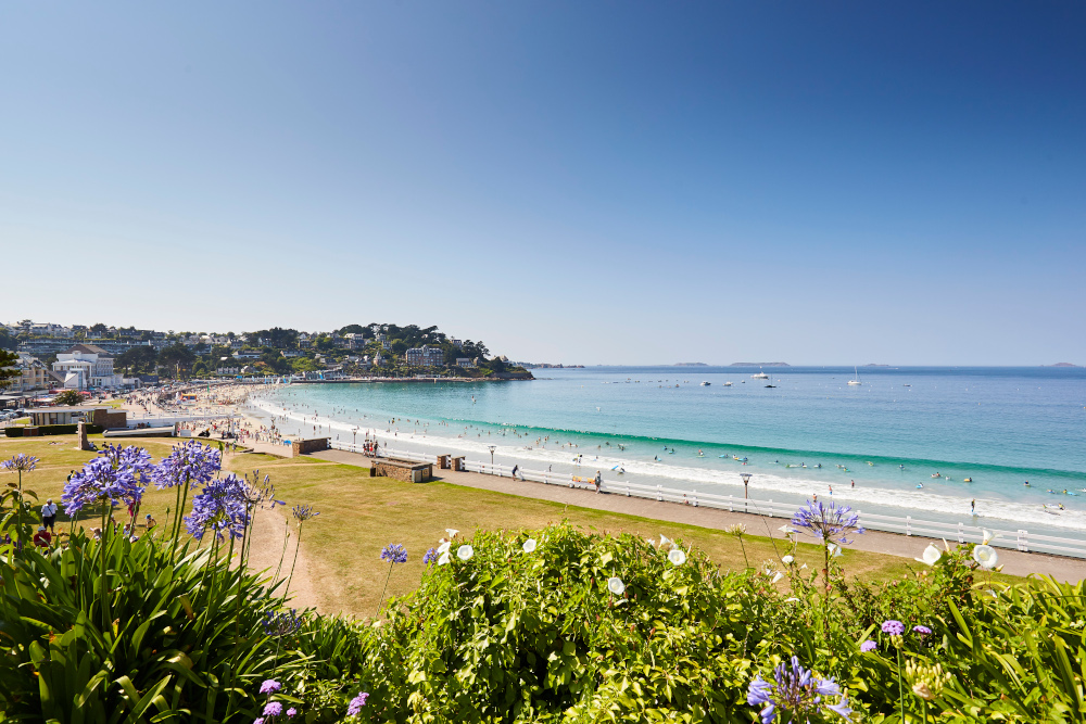
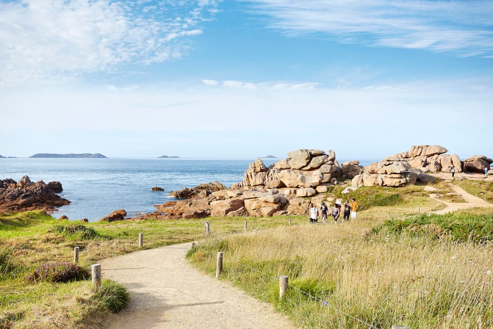
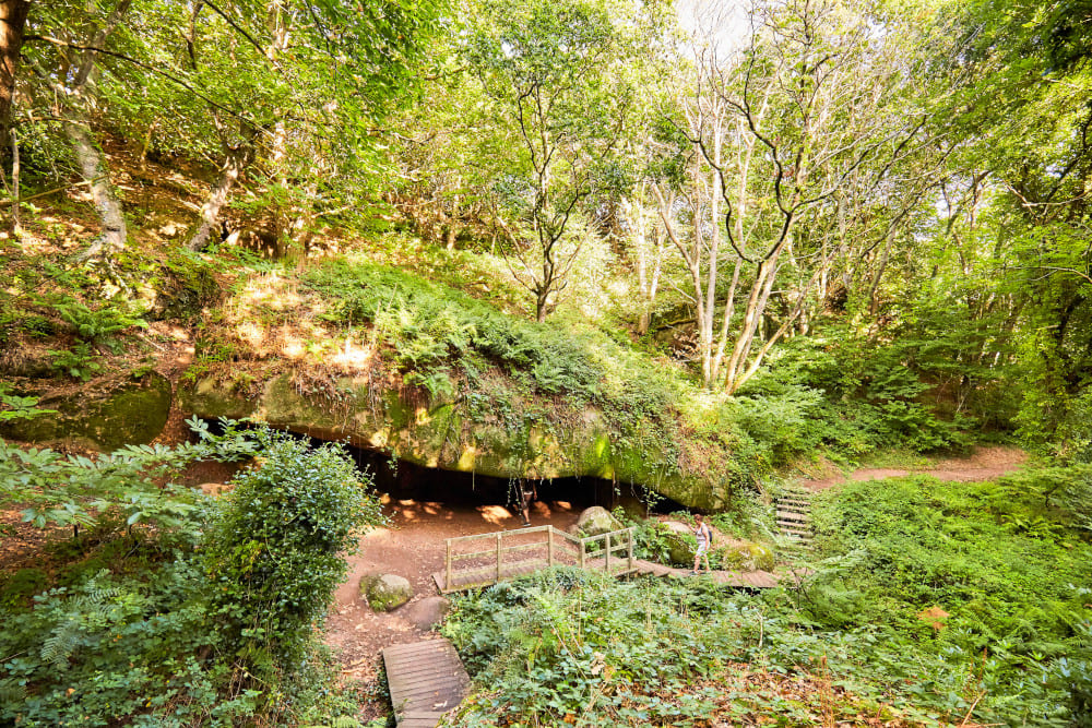
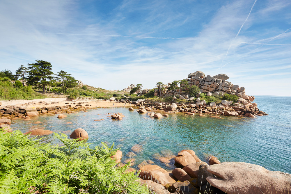
A complete route for experienced trail-runners, the circuit first takes you to the Clarté district and its chapel, then takes you down to Trestraou beach before covering the whole of the Sentier des Douaniers which links the beach to Ploumanac'h port. Coves, granite chaos, small creeks, Mean Ru lighthouse, Saint Guirec beach, a succession of grandiose landscapes... The way back to Kerabram is through the Traouïero valley with alternating technical and rolling sections to end in the Perros-Guirec countryside.

- Distance 23.83 km
- Elevation gain 362 m
- Elevation lost 362 m
- Min. elevation 2 m
- Max. elevation. 97 m
- Duration (depending on pace) 2h20 à 4h40
- Marking Soon
Maxx2trail
JpGroove
Isa2201
Maxx2trail
JpGroove
Isa2201


Baie de Morlaix Tourist Office
+33(0)2 98 62 14 94
Tourist Office
send mail
Côte de Granit Rose Tourist Office
+33(0)2 96 05 60 70
Tourist Office
send mail
![]()
Perros-Guirec Tourist Office
+33(0)2 96 23 21 15
Tourist Office
send mail
Roscoff Tourist Office
+33(0)2 98 68 33 33
Tourist Office
send mail

