Circuit 22. Squiriou valley
Add to my favorites

Paths are impracticable because of the storm
Route opened
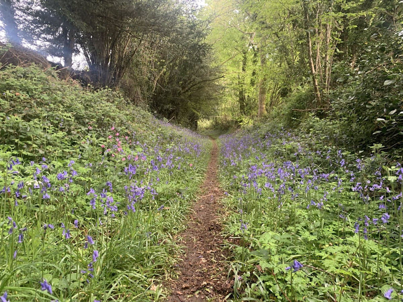
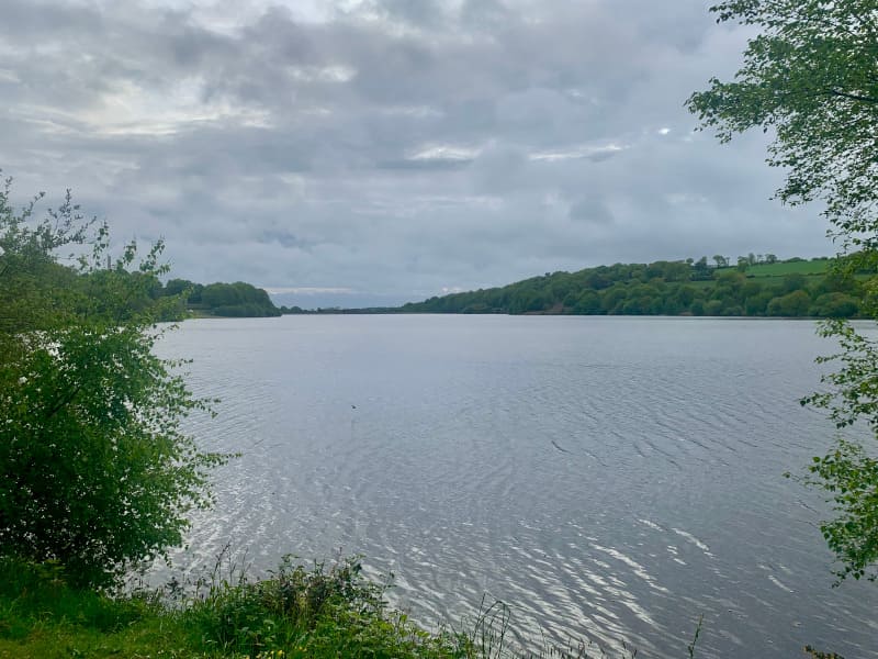
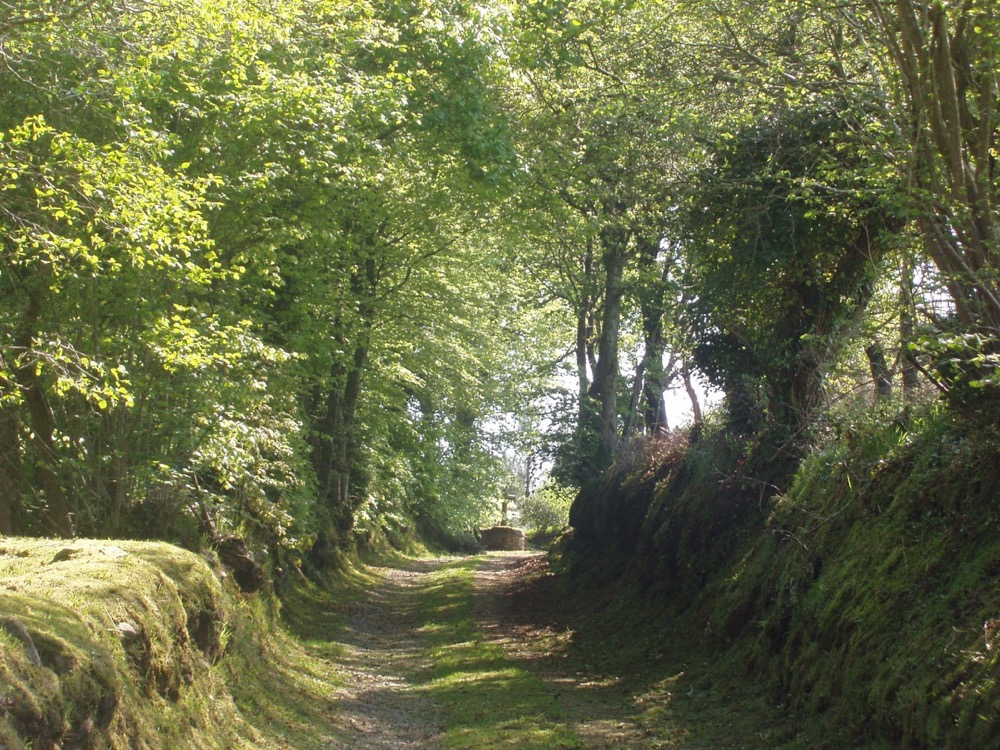
Starting from the Etang du Guic, south of the historic town of Guerlesquin, discover the Squiriou valley and its many facets. You will alternate between wide tracks and narrow, soft undergrowth paths. This route is suitable for all runners who feel able to go the distance. You will finish this route in a cool atmosphere by taking the path along the pond and its wetlands.
The characteristics of the route.
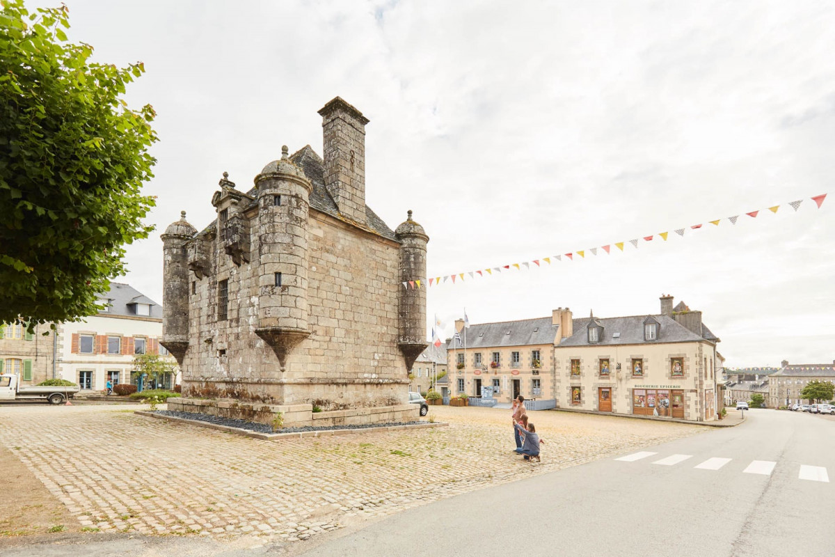
Guerlesquin (22)
- Distance 26.9 km
- Elevation gain 610 m
- Elevation lost 610 m
- Min. elevation 113 m
- Max. elevation. 265 m
- Duration (depending on pace) 2h45 à 5h30
- Marking Soon
Add your time and share your feelings
Services nearby

Site de Goariva
Plougras
Réserve Naturelle Régionale des landes prairies et étangs de Plounérin
Plounérin
Forêt de Beffou
Loguivy-Plougras
Les vélos de la baie
Plufur
Château de Rosanbo
Lanvellec


Baie de Morlaix Tourist Office
+33(0)2 98 62 14 94
Tourist Office
send mail
Côte de Granit Rose Tourist Office
+33(0)2 96 05 60 70
Tourist Office
send mail
![]()
Perros-Guirec Tourist Office
+33(0)2 96 23 21 15
Tourist Office
send mail
Roscoff Tourist Office
+33(0)2 98 68 33 33
Tourist Office
send mail


OK
Annuler