Route 2 - The Pestaz loop
Add to my favorites

Route closed
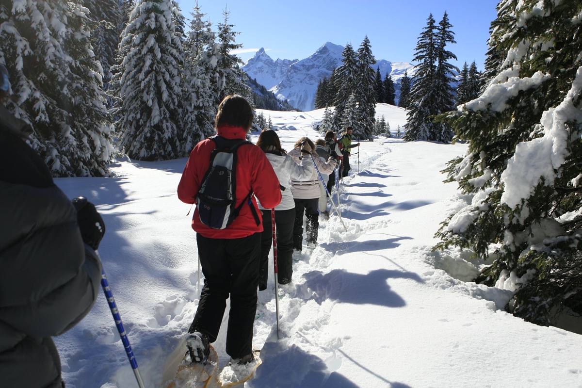
This varied itinerary: alongside a piste, through forests and over a mountain stream, leading you past Les Carroz’s hidden hamlets such as “La Lanche d’en Bas”, a real haven of peace and authenticity.
The characteristics of the route.
Les Carroz - La Pestaz (74)
- Distance 3.6 km
- Elevation gain 180 m
- Elevation lost 180 m
- Min. elevation 1179 m
- Max. elevation. 1325 m
- Duration (depending on pace) 1h15
- Marking Purple signs
Area : Les Carroz
Report a problem 1 comment
Add your time and share your feelings


Follow us on
the digital trails
the digital trails


![]()
Infos & contacts
Flaine Tourist Office
Tél. +33 (0)4 50 90 80 01
Les Carroz sports club
sports@aracheslafrasse.fr - Tél. +33 (0)4 50 90 24 80
Cluses Arve & montagnes Tourist Office
Tél. +33 (0)4 50 96 69 69


OK
Annuler