Show the map
Charvin en boucle depuis "Sous l'Aiguille" (Manigod)
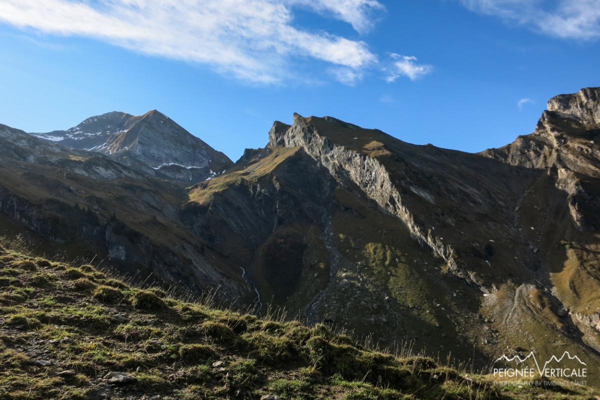


 Le Bouchet (74)
 Points of Interest table
| Accum. | Intermediary | |||||||
|---|---|---|---|---|---|---|---|---|
| POI | Description | Alt. | Dist. | D+ | D- | Dist. | D+ | D- |
Trace n°1331
Ascent threshold : 0 m Distance threshold : 35 m Smoothing : Yes Origin of altitudes : MNT Aster GDEM
Ascent threshold : 0 m Distance threshold : 35 m Smoothing : Yes Origin of altitudes : MNT Aster GDEM
Loop
Dominant terrain : Footpath
Max alti. : 2365 m
Avg alti. : 1754 m
Min alti. : 1218 m
Longest ascent : 1154 m
Longest descent : 818 m
Route completed by the author : nc
Dominant terrain : Footpath
Max alti. : 2365 m
Avg alti. : 1754 m
Min alti. : 1218 m
Longest ascent : 1154 m
Longest descent : 818 m
Route completed by the author : nc
Elevation profile
More tools
Create a new roadbook page
Map and track on your website
Warning ! When you insert a Trace de Trail map on your website, you agree not to hide any element of the module (links to Trail Trail or Trail Connect banner)
Add a realisation
Validate
Add a realisation to share your chrono and describe the conditions that you encountered during you trail running !
Add a comment
Validate
Admin - Trace de Trail
27/10/13, 20:06:02
Ah ok ! Du coup je t'ai complété la trace sur sa partie initiale.
27/10/13, 20:06:02
Ah ok ! Du coup je t'ai complété la trace sur sa partie initiale.
Timoth
27/10/13, 19:58:21
Oui, les satellites ne captaient pas donc j'ai démarré le chrono, c'est pour cela qu'il manque un bout.
27/10/13, 19:58:21
Oui, les satellites ne captaient pas donc j'ai démarré le chrono, c'est pour cela qu'il manque un bout.
Ca a du merder un peu avant de me replacer correctement :)
More comments
Admin - Trace de Trail
27/10/13, 18:43:51
Bonjour, il y a un petit truc bizarre après le départ de la trace , ce n'est pas volontaire j'imagine ?
27/10/13, 18:43:51
Bonjour, il y a un petit truc bizarre après le départ de la trace , ce n'est pas volontaire j'imagine ?
Show the infos
Add a track


