
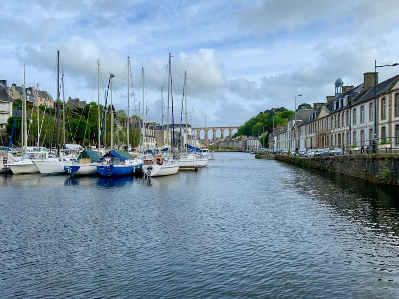
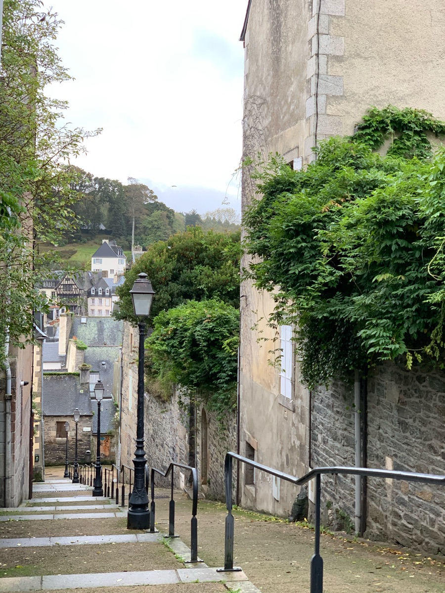
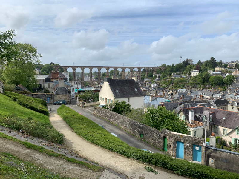
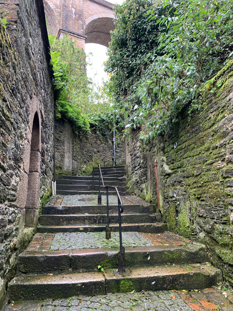
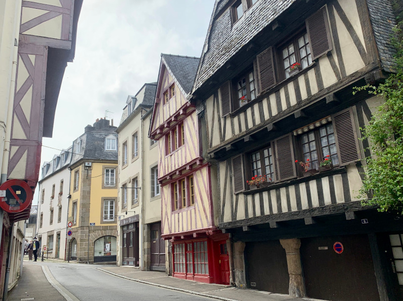
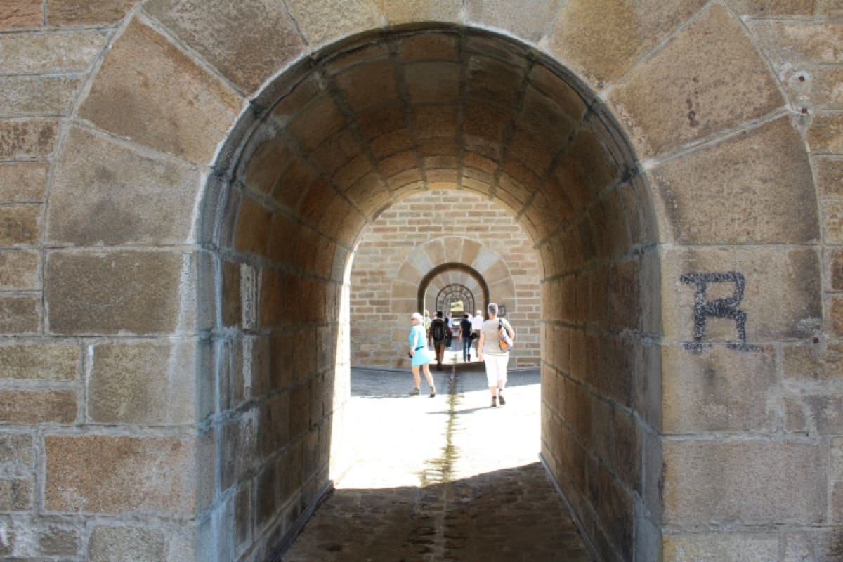
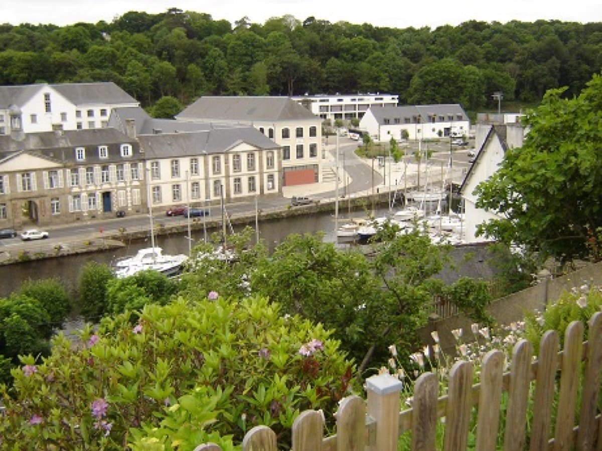
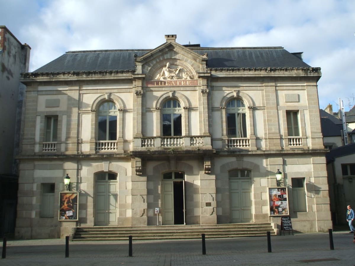
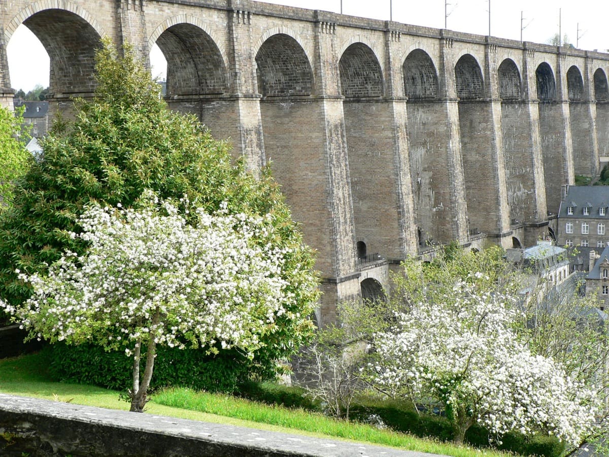
Discover this city of three hills which reveals its 1000 years of history thanks to this urban route which will lead you from the historic heart of the city to the marina, to discover its unmissable sites: its viaduct, the Pondalez house, its Italian-style theatre and its labyrinth of lanes and alleyways where you will step on the steps worn by centuries of passage.
This route, punctuated by the incessant up and down of the famous alleys, these typical cobbled pedestrian "veins" of Morlaix, will offer you a beautiful outing of both discovery and training.

- Distance 6.5 km
- Elevation gain 290 m
- Elevation lost 290 m
- Min. elevation 4 m
- Max. elevation. 60 m
- Duration (depending on pace) 0h45 à 1h30
- Marking Soon
Cécile
Cécile


Baie de Morlaix Tourist Office
+33(0)2 98 62 14 94
Tourist Office
send mail
Côte de Granit Rose Tourist Office
+33(0)2 96 05 60 70
Tourist Office
send mail
![]()
Perros-Guirec Tourist Office
+33(0)2 96 23 21 15
Tourist Office
send mail
Roscoff Tourist Office
+33(0)2 98 68 33 33
Tourist Office
send mail

