Route n°5 - Up to Crêt de Neiry
Add to my favorites

Route opened
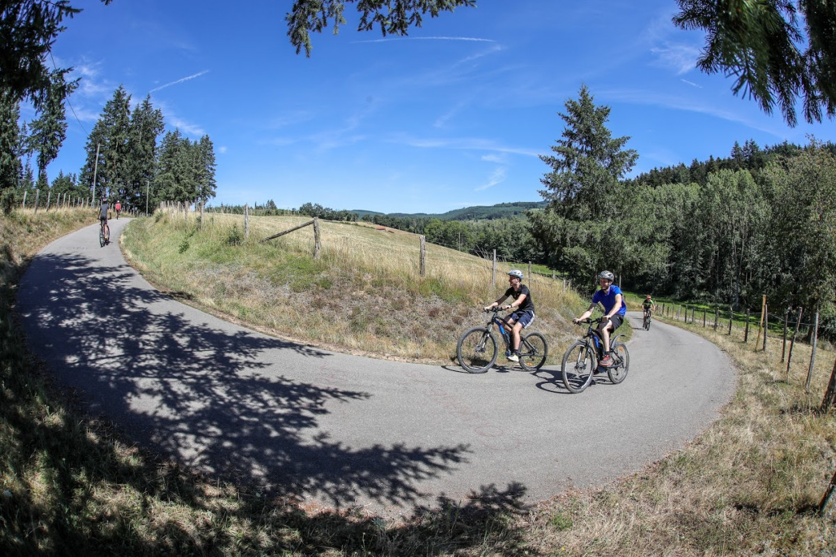
Pleasant ascents and descents, sometimes technical. Beware of dangerous road crossing halfway (at km 14.5, on the D98). Pleasant descent on the edge of the forest to reach the Lac des Sapins.
The characteristics of the route.
Cublize (69)
- Distance 32.3 km
- Elevation gain 1220 m
- Elevation lost 1220 m
- Min. elevation 408 m
- Max. elevation. 873 m
- Duration (depending on pace) 2h10 à 3h
- Marking Orange with n°5 on a black background
Area : Lac des Sapins
Report a problem Add a comment
Site VTT FFC du Beaujolais Vert Roadbook for sail
Add your time and share your feelings
Services nearby

Glaces et confiseries artisanales - Fun' Yaourt
Cublize

Camping du Lac des Sapins
Cublize
Gîte l' Ambremy
Cublize
Snack "Au Bon Accueil"
Cublize
Appartement "Au Cœur de Cublize"
Cublize


Follow us on
the digital trails
the digital trails


![]()
Info & contacts
Office de Tourisme du Beaujolais Vert
Lac des Sapins - 69550 Cublize
04.74.89.58.03
accueil@beaujolaisvert.com


OK
Annuler