Marcelly Loop
Add to my favorites

Route closed
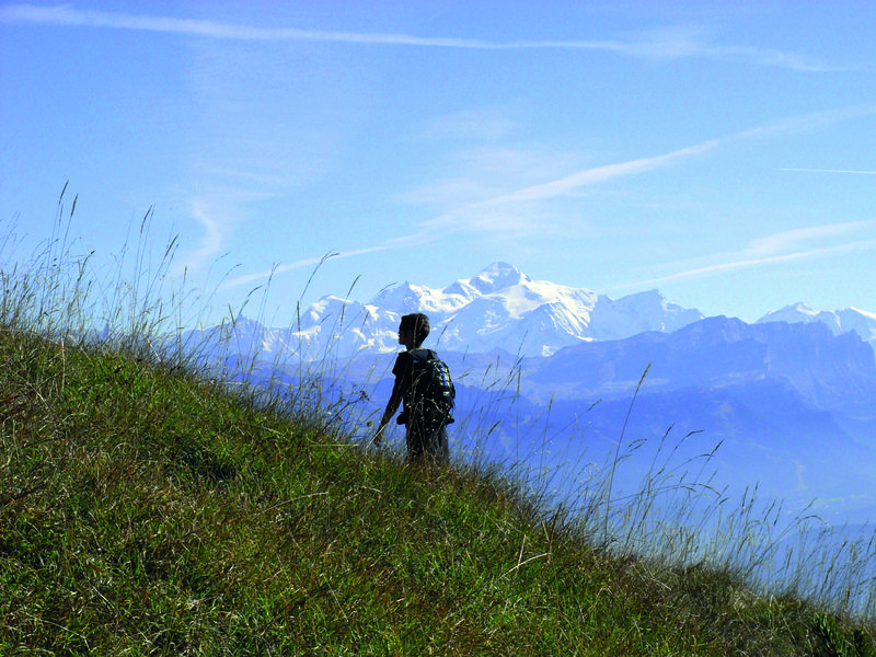
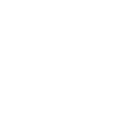
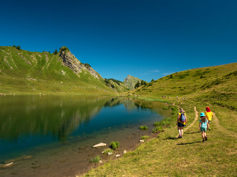
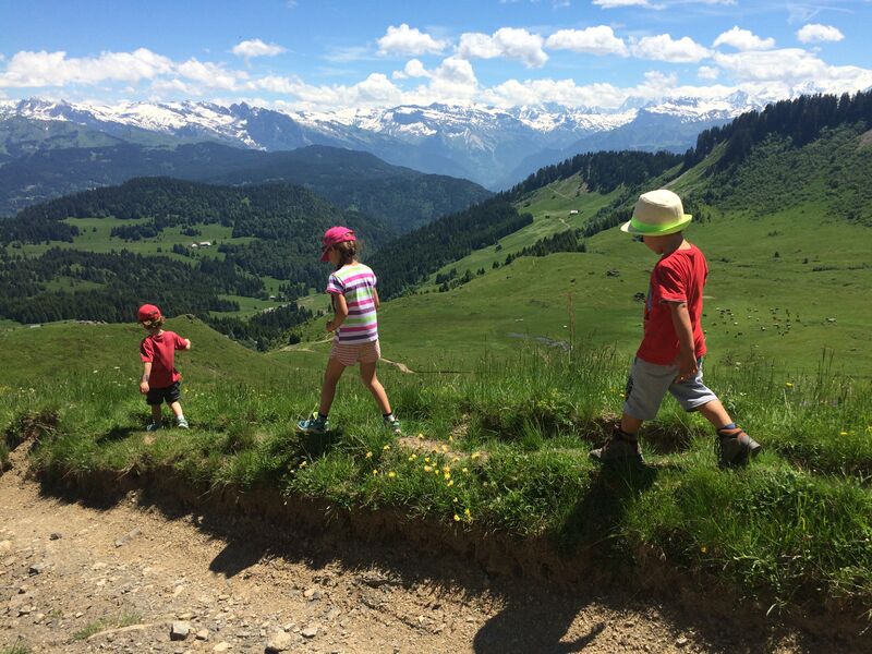
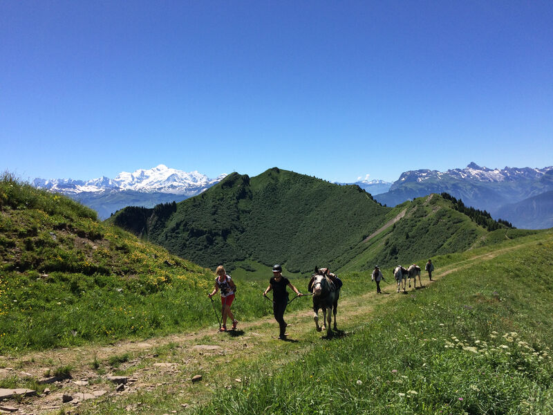
Mid-mountain trail with a section across the ridges offering some remarkable views of the Lac de Roy, the pastures, Mont-Blanc mountains and Chablais peaks.
The characteristics of the route.
Taninges (74)
- Distance 8.5 km
- Elevation gain 610 m
- Elevation lost 610 m
- Min. elevation 1500 m
- Max. elevation. 1989 m
- Duration (depending on pace) 4h
- Marking Yes
Marmots and chamois love the areas around the Lac de Roy, a natural glacial lake and Gron pastures. Cows also enjoy grazing in this beautiful area in the summer season. Along the ridge, there’s a clear view across Giffre Valley, the Môle and Aravis mountains. The 360° panoramic view from the Pic de Marcelly is superb.Equipments : Public WC, Car park, Admission fee : Free access.Opening : From 15/05 to 15/11.
Subject to favorable snow and weather conditions.
Read before you go!
Adapt your equipment according to your level and the weather. Do not leave the marked trails.
Adapt your equipment according to your level and the weather. Do not leave the marked trails.
Area : Praz de Lys
Report a problem Add a comment
Boucle de Marcelly Pdf file
Add your time and share your feelings


Information updated on 2023-05-24 by Praz de Lys Sommand Tourisme


Follow us on
the digital trails
the digital trails


![]()
Infos & contacts
Praz de Lys Sommand Tourisme
www.prazdelys-sommand.com
04.50.34.25.05
accueil@prazdelys-sommand.com


OK
Annuler