Route 34 red - Les 3 terres
Add to my favorites

Route opened
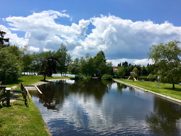
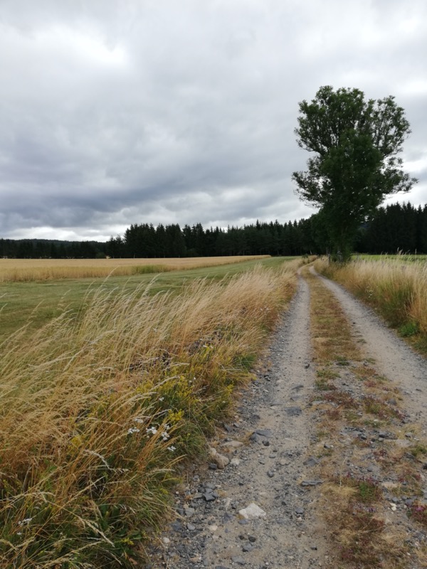
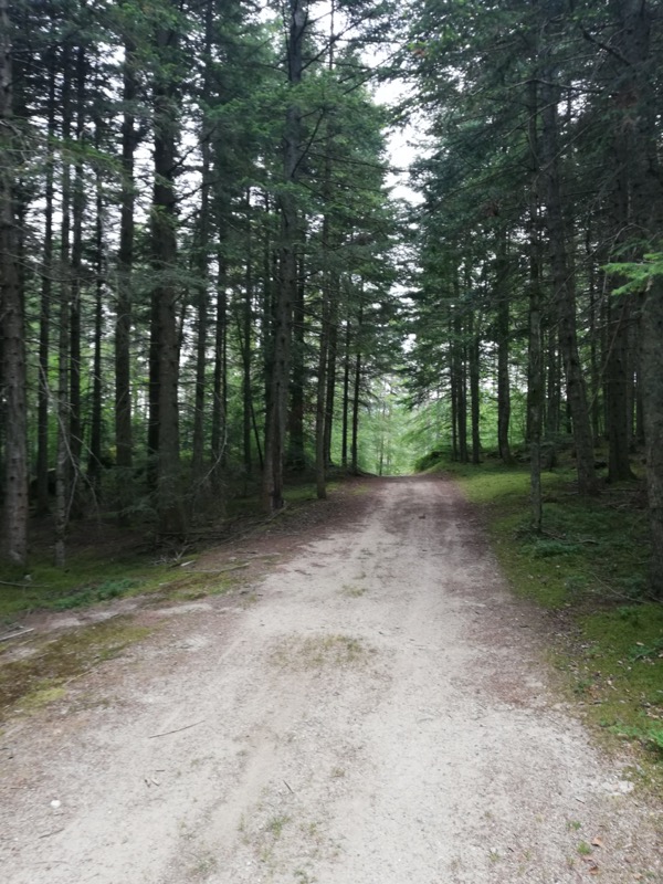
Ce parcours panoramique part du plan d'eau d'Usson pour rejoindre le hameau de Boulaine et emprunter l'ancienne voie romaine. Il passe par le hameau du Crozet d'Apinac et monte en dessous de Montarcher en passant par le hameau du Poyet. Il repart en direction d'Usson en passant en dessous du pic de Jametton et du hameau du Vernet.
The characteristics of the route.

Usson-en-Forez (42)
- Distance 22.4 km
- Elevation gain 640 m
- Elevation lost 640 m
- Min. elevation 891 m
- Max. elevation. 1192 m
- Duration (depending on pace) 2h20 à 4h45
- Marking Trail-running n°34 red
klorophyl
finished in 02:03:00
The 2021/02/20
En savoir plus
Zoolive
finished in 02:48:15
The 2020/12/20
En savoir plus
Ajouter votre chrono et partager vos sensations
2021/02/20 02:03:00
klorophyl
klorophyl
2020/12/20 02:48:15
Zoolive
Zoolive
21.58 km au GPS avec 711m de dénivelé.
Quelques erreurs d'aiguillage...
2021/02/20 02:03:00
klorophyl
klorophyl
2020/12/20 02:48:15
Zoolive
Zoolive
21.58 km au GPS avec 711m de dénivelé.
Quelques erreurs d'aiguillage...


Follow us on
the digital trails
the digital trails

![]()
Infos & contacts
Ambert sector :
Bureau des activités de Pleine Nature
+33(0)4 73 72 71 40
accueil@ambertlivradoisforez.fr
Chalmazel - Col de la Loge - Usson sector :
Loire Forez Tourisme
+33(0)4 77 96 08 69
www.loireforez.com


OK
Annuler