Show the map
OFFICIAL ROUTE
Parcours Trail Dent de Nendaz


7 km
500 m
500 m
 Beuson (Nendaz) (CH)
 Beuson (Nendaz) (CH)
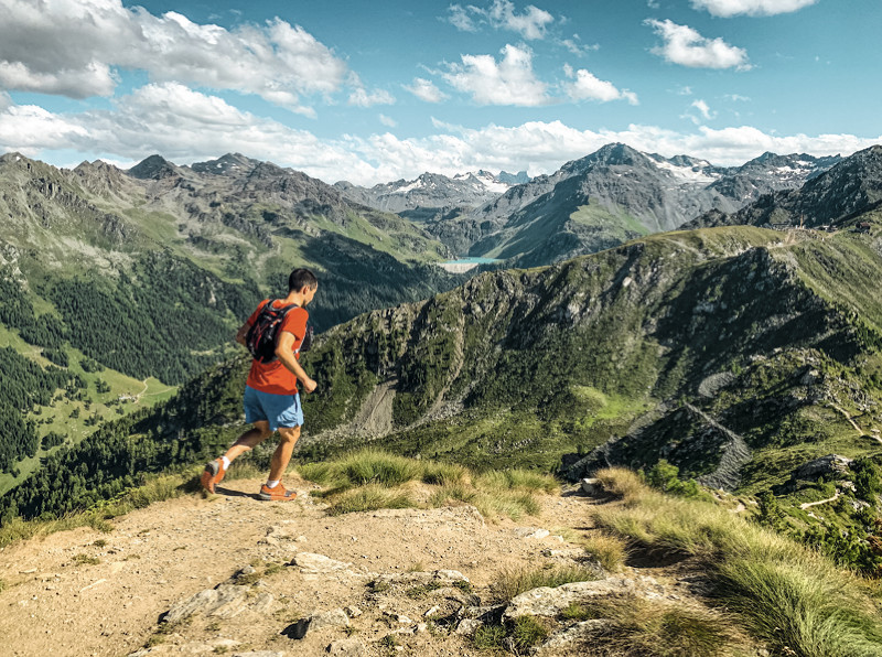
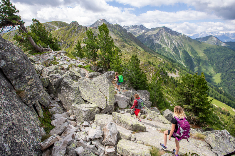
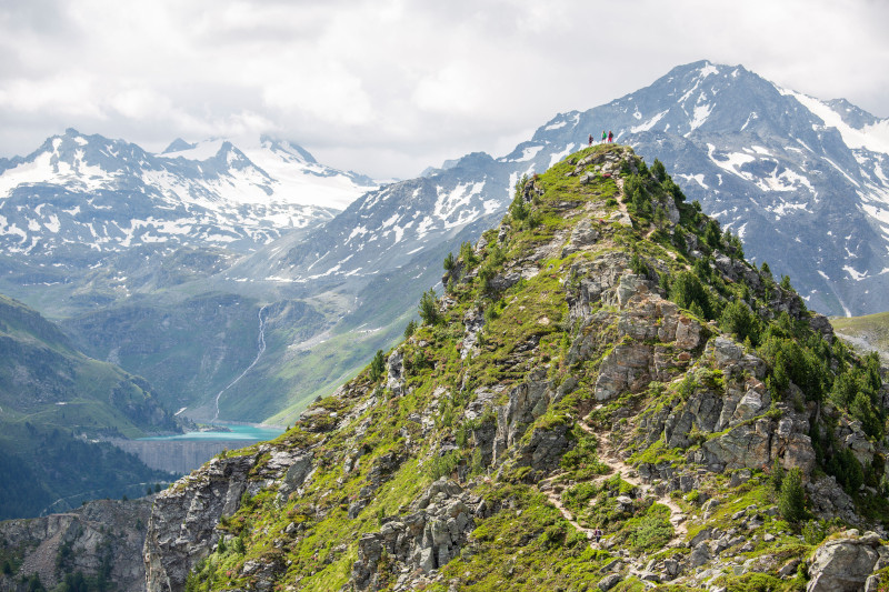
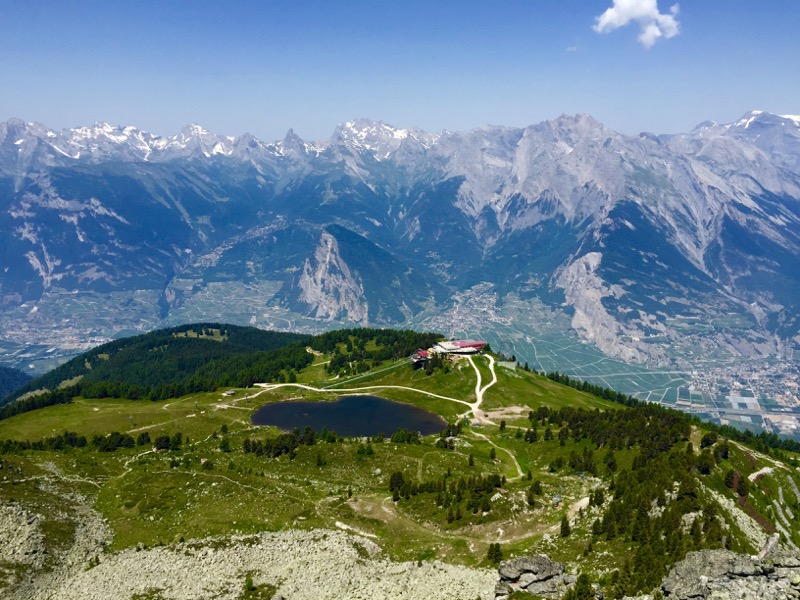
This aerial trail from the departure station of the Tracouet gondola takes you to the 'Dent de Nendaz' followed by a passage over the mountain ridges to the 'Basso d'Alou'. After a rather technical descent, the return to Tracouet is along a wider dirt track. It is a technical route with steep amd aerial passages. Not appropriate to those subject to vertigo.
Points of Interest table
| Accum. | Intermediary | |||||||
|---|---|---|---|---|---|---|---|---|
| POI | Description | Alt. | Dist. | D+ | D- | Dist. | D+ | D- |
Trace n°113718
Ascent threshold : 3 m Distance threshold : 30 m Smoothing : Yes Origin of altitudes : MNT Google
Ascent threshold : 3 m Distance threshold : 30 m Smoothing : Yes Origin of altitudes : MNT Google
Loop
Dominant terrain : Footpath
Max alti. : 2460 m
Avg alti. : 2216 m
Min alti. : 2027 m
Longest ascent : 290 m
Longest descent : 440 m
Route completed by the author : No
Dominant terrain : Footpath
Max alti. : 2460 m
Avg alti. : 2216 m
Min alti. : 2027 m
Longest ascent : 290 m
Longest descent : 440 m
Route completed by the author : No
Elevation profile
More tools
Create a new roadbook page
Map and track on your website
Warning ! When you insert a Trace de Trail map on your website, you agree not to hide any element of the module (links to Trail Trail or Trail Connect banner)
Add a realisation
Validate
Add a realisation to share your chrono and describe the conditions that you encountered during you trail running !
Add a comment
Validate
Show the infos
Le parcours est fermé jusqu'à la fin de l'hiver.
Add a track


