Bel'Vélec Prapoutel - le Pré de l'Arc
Add to my favorites


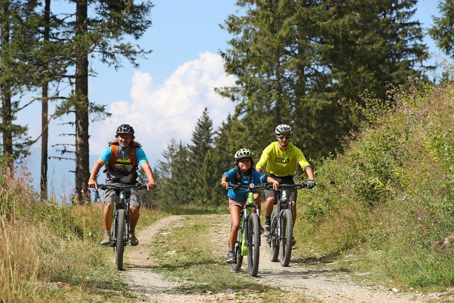
Itinéraire n°50 : La boucle idéale pour les familles avec enfants ou bien les novices en VTT.
The characteristics of the route.

Les Sept Laux Prapoutel (38)
- Distance 8.3 km
- Elevation gain 210 m
- Elevation lost 210 m
- Min. elevation 1312 m
- Max. elevation. 1434 m
- Duration (depending on pace) 0h35
- Marking Yes
Admission fee : Free access.Opening : All year round.
Subject to favorable weather.
Area : Grésivaudan
Report a problem Add a comment
Website Plan général Bel'velec - 8 itinéraires Bel'Velec carte itinéraire n°50 Pdf file Features of the application :
- Location and orientation on detailed maps thanks to the GPS of your smartphone
- Description of routes and points of interest on the route
- Photo gallery by route
- Detailed elevation profile
- Route tracking alert to warn you if you stray from the route
- Send predefined messages by SMS to your contacts
- Emergency module: trigger a call or send an emergency SMS in case of problem
- Agenda: access to events organized in the department
- News: find in the application the latest news on the web portal
- Adding achievements
- Add reports in case of problems encountered on the routes
- Share on social networks
Add your time and share your feelings
Services nearby

Bureau d'Information Touristique de Prapoutel / Les 7 Laux - Office de Tourisme Belledonne Chartreuse
Les Sept Laux Prapoutel

Refuge le Habert d'Aiguebelle
Laval
Bureau d'Information Touristique du Pleynet / Les 7 Laux - Office de Tourisme Belledonne Chartreuse
Les Sept Laux Le Pleynet
Refuge des 7 Laux
Le Haut-Bréda

Ibex museum - Space York Mallory
Allemond


Follow us on
the digital trails
the digital trails


![]()
The Isère Outdoor application was created
by the Département de l'Isère
Infos & contact
Conseil départemental de l'Isère
7 rue Fantin Latour
CS 41096
38 022 Grenoble cedex 1
Tel. 04 76 00 38 38


OK
Annuler