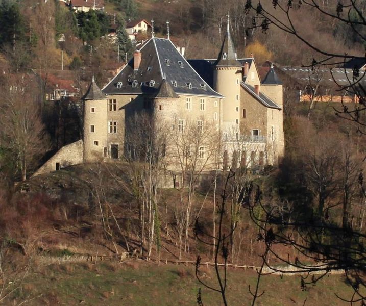
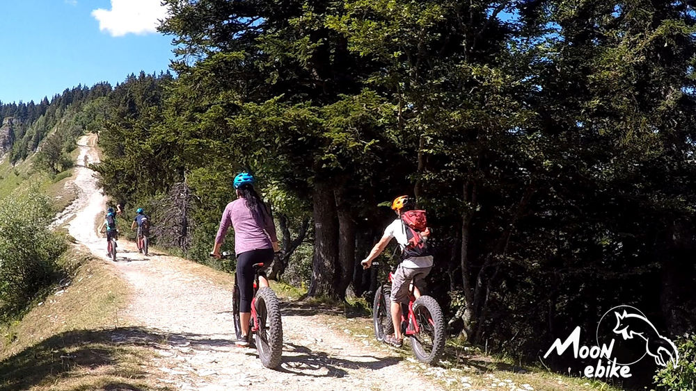
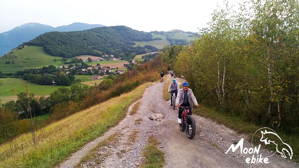
The Cycle from Castle to Château, from Uriage
Add to my favorites

Caution! Zone of vigilance near the route
Faucon pèlerin - du 01/02/2024 au 30/06/2024 In progress

This loop itinerary starts below Uriage Castle and follows paths and lanes to the Palace of Vizille before taking you back to the spa resort of Uriage.
The characteristics of the route.
Saint-Martin-d'Uriage (38)
- Distance 19 km
- Elevation gain 250 m
- Elevation lost 250 m
- Min. elevation 278 m
- Max. elevation. 471 m
- Marking Yes
Itinerary details:
* The itinerary starts at the roundabout between roads D524 (Uriage/Vizille) and D280 (Uriage/Saint-Martin-d’Uriage), behind the AEROJUMP park (bicycle-friendly).
* Follow the track along the edge of the forest at the far end of the park, southwards towards Vaulnaveys-le-Haut, until you reach the Tuilerie roundabout.
* Follow the track along the left-hand side of the road and, at the pedestrian crossing near the golf course, cross the road and take the right-hand lane along the side of the road.
* Once past the golf course, from the roundabout you can stay off the road by turning right onto the path that follows the D524 along Avenue d’Uriage, then follow Chemin des Abeilles which brings you back to the roadside pavement. Continue for 180 metres.
* Then turn right onto Chemin des Bargeonniers until you reach the intersection with Route de Brié (where you’ll see an oratory). Go straight on to follow Chemin Fromental, then Promenade de la Lavée as the downhill slope levels out into a flatter ride along the bottom of the hill.
* When you reach the “Granit Chabert” site on your left, leave Promenade de la Lavée on your left and continue straight ahead on the path, remaining at the foot of the hill.
* After 260 metres, ignore the uphill track on the right.
* Continue straight on for 800 metres, ignoring also the wide track off to the left.
* After another 450 metres, again go straight ahead on Chemin des Charriers. Staying at the foot of the hill, cross 2 intersections and, at the 3rd intersection, continue straight ahead on Chemin sous les Vignes.
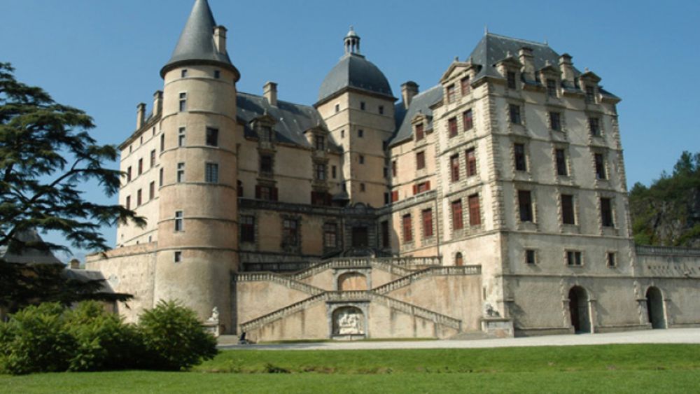
* Enter Vizille on Rue du Château du Roy, cross the town’s most ancient district, and continue on Rue de Malpertuis to Place du Château where you’ll find Vizille Tourist Office to the right of the Marianne statue.
~ VIZILLE ~
The return trip begins via the same route:
* From Vizille Tourist Office, go back via Rue Malpertuis and Rue du Château du Roy.
* Before you reach Chemin sous les Vignes, look out for Chemin de la Paute, where you’ll turn right.
* Then turn left into Chemin du Plan, leaving Chemin Cavard on your right.
* Once past the model aircraft ground, take the first left to reach the lakes.
* Follow the lakeside path (please be mindful of anglers), then turn right onto a track which joins the main road near the “Le Mas” bus stop.
* Cross the road and take the lane opposite, then turn left onto Chemin de Vaulnaveys which follows the stream before its name changes to “Promenade des Noyers”.
* Go past the pony club on your left then, after 1 km, the Camping de l’Imprévu campsite on your right (where you can rent Ebikes).
* Continue straight ahead, leaving Vaulnaveys-le-Bas town hall on your left, and follow Promenade de la Mondée.
* Then turn right onto Les Meynards.
* Continue straight on, along Route des Frettes, then Route du Pont Neuf, then Chemin de la Croix de Maitre.
* Finally, turn left onto Chemin des Chartreux and, after 40 metres, turn right onto Chemin du Clos.
* After 500 metres, take Chemin du Marais on the right.
* Continue straight ahead for 300 metres on Chemin des Perrières, then turn left onto Chemin du Lavoir.
* Go past the stables then turn right onto Chemin des Guichards.
* Turn right again to follow the cycle path uphill on Avenue du Golf for 100 metres.
* Leave the cycle path to turn right onto Route des Clodits.
* Then cross the road (Route de Prémol) to follow Chemin des Roux for 50 metres until you reach Chemin des Blancs on your left.
* Go down this tarmac lane and turn right onto Chemin Saint-Georges. After the left-hand bend, continue your descent to Route de Prémol.
* Take a small track immediately to the right. This leads to Chemin de Mourachat which takes you into the park.
* Take Impasse de la Carrière on the right and, once past the buildings, continue past the park and back to your departure point.Equipments : Public WC, Charging stations for electric vehicles, Charging station for 2 electric wheels, Admission fee : Free access.Opening : All year round. Subject to favorable weather.
* The itinerary starts at the roundabout between roads D524 (Uriage/Vizille) and D280 (Uriage/Saint-Martin-d’Uriage), behind the AEROJUMP park (bicycle-friendly).
* Follow the track along the edge of the forest at the far end of the park, southwards towards Vaulnaveys-le-Haut, until you reach the Tuilerie roundabout.
* Follow the track along the left-hand side of the road and, at the pedestrian crossing near the golf course, cross the road and take the right-hand lane along the side of the road.
* Once past the golf course, from the roundabout you can stay off the road by turning right onto the path that follows the D524 along Avenue d’Uriage, then follow Chemin des Abeilles which brings you back to the roadside pavement. Continue for 180 metres.
* Then turn right onto Chemin des Bargeonniers until you reach the intersection with Route de Brié (where you’ll see an oratory). Go straight on to follow Chemin Fromental, then Promenade de la Lavée as the downhill slope levels out into a flatter ride along the bottom of the hill.
* When you reach the “Granit Chabert” site on your left, leave Promenade de la Lavée on your left and continue straight ahead on the path, remaining at the foot of the hill.
* After 260 metres, ignore the uphill track on the right.
* Continue straight on for 800 metres, ignoring also the wide track off to the left.
* After another 450 metres, again go straight ahead on Chemin des Charriers. Staying at the foot of the hill, cross 2 intersections and, at the 3rd intersection, continue straight ahead on Chemin sous les Vignes.
* Enter Vizille on Rue du Château du Roy, cross the town’s most ancient district, and continue on Rue de Malpertuis to Place du Château where you’ll find Vizille Tourist Office to the right of the Marianne statue.
~ VIZILLE ~
The return trip begins via the same route:
* From Vizille Tourist Office, go back via Rue Malpertuis and Rue du Château du Roy.
* Before you reach Chemin sous les Vignes, look out for Chemin de la Paute, where you’ll turn right.
* Then turn left into Chemin du Plan, leaving Chemin Cavard on your right.
* Once past the model aircraft ground, take the first left to reach the lakes.
* Follow the lakeside path (please be mindful of anglers), then turn right onto a track which joins the main road near the “Le Mas” bus stop.
* Cross the road and take the lane opposite, then turn left onto Chemin de Vaulnaveys which follows the stream before its name changes to “Promenade des Noyers”.
* Go past the pony club on your left then, after 1 km, the Camping de l’Imprévu campsite on your right (where you can rent Ebikes).
* Continue straight ahead, leaving Vaulnaveys-le-Bas town hall on your left, and follow Promenade de la Mondée.
* Then turn right onto Les Meynards.
* Continue straight on, along Route des Frettes, then Route du Pont Neuf, then Chemin de la Croix de Maitre.
* Finally, turn left onto Chemin des Chartreux and, after 40 metres, turn right onto Chemin du Clos.
* After 500 metres, take Chemin du Marais on the right.
* Continue straight ahead for 300 metres on Chemin des Perrières, then turn left onto Chemin du Lavoir.
* Go past the stables then turn right onto Chemin des Guichards.
* Turn right again to follow the cycle path uphill on Avenue du Golf for 100 metres.
* Leave the cycle path to turn right onto Route des Clodits.
* Then cross the road (Route de Prémol) to follow Chemin des Roux for 50 metres until you reach Chemin des Blancs on your left.
* Go down this tarmac lane and turn right onto Chemin Saint-Georges. After the left-hand bend, continue your descent to Route de Prémol.
* Take a small track immediately to the right. This leads to Chemin de Mourachat which takes you into the park.
* Take Impasse de la Carrière on the right and, once past the buildings, continue past the park and back to your departure point.Equipments : Public WC, Charging stations for electric vehicles, Charging station for 2 electric wheels, Admission fee : Free access.Opening : All year round. Subject to favorable weather.
Area : Grenoble-Alpes Métropole
Report a problem Add a comment
Website Roadbook Sur les châteaux de roues au départ d'Uriage Pdf file Features of the application :
- Location and orientation on detailed maps thanks to the GPS of your smartphone
- Description of routes and points of interest on the route
- Photo gallery by route
- Detailed elevation profile
- Route tracking alert to warn you if you stray from the route
- Send predefined messages by SMS to your contacts
- Emergency module: trigger a call or send an emergency SMS in case of problem
- Agenda: access to events organized in the department
- News: find in the application the latest news on the web portal
- Adding achievements
- Add reports in case of problems encountered on the routes
- Share on social networks
Add your time and share your feelings
Services nearby

Office Thermal et Touristique d'Uriage-les-Bains
Saint-Martin-d'Uriage
Chamrousse Tourist Office
Chamrousse

Arselle Peatbog (Preserved Natural Area)
Chamrousse

Romanche Museum
Livet-et-Gavet
The chemistry Museum
Jarrie


Information updated on 2022-04-20 by Isère Attractivité


Follow us on
the digital trails
the digital trails


![]()
The Isère Outdoor application was created
by the Département de l'Isère
Infos & contact
Conseil départemental de l'Isère
7 rue Fantin Latour
CS 41096
38 022 Grenoble cedex 1
Tel. 04 76 00 38 38


OK
Annuler