Route 27 - Peyrabout
Add to my favorites

Route opened
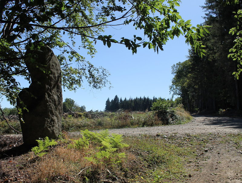
Panorama sur Guéret et ses alentours, nombreux chaos granitiques
The characteristics of the route.
Peyrabout (23)
- Distance 8.1 km
- Elevation gain 240 m
- Elevation lost 240 m
- Min. elevation 479 m
- Max. elevation. 678 m
- Duration (depending on pace) 2h
- Marking yellow
Add your time and share your feelings


Follow us on
the digital trails
the digital trails


![]()
Info & contacts :
Communauté d'Agglomération du Grand Guéret
Service Sports de nature
Tel : +33(0)5 55 41 04 48
contact@sportsnature-montsdegueret.com


OK
Annuler